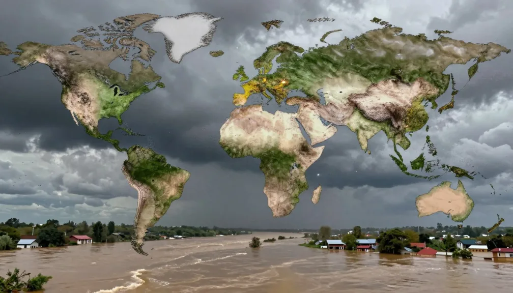
The top 10 hurricanes in US history earned their historical weight through extreme loss of human life, unprecedented structural destruction, and profound shifts in civil infrastructure. Major tropical cyclones such as the 1900 Galveston storm, Hurricane Katrina, and Hurricane Maria exposed geographic vulnerabilities across coastal regions and islands. While some storms produced staggering death tolls through sudden maritime surges, others wreaked devastation through multi-day inland rainfall or sweeping wind fields.
Determining which storms stand out requires examining barometric pressure, wind speeds, loss of life, and property destruction adjusted for inflation. Shifting coastal population densities and evolving meteorological instrumentation mean historical severity can be viewed through multiple analytical perspectives. Evaluating these atmospheric events reveals how emergency communication, civil engineering standards, and meteorological science evolved across more than a century of American history.
Evaluating Historical Storm Impacts
Comparative assessments of major tropical storms rely on multiple physical and economic metrics rather than a single parameter. Meteorologists at the National Hurricane Center classify cyclones by sustained wind speed, yet storm surge and inland precipitation often generate the greatest destruction. Early storms struck before the establishment of modern satellite tracking and coastal radar, creating substantial discrepancies in early documentation.
Monetary damage figures also demand careful contextualization. Raw historical losses reflect the property values of their specific eras, while normalized calculations adjust for currency inflation, regional wealth accumulation, and coastal development changes. Evaluating historical severity requires balancing quantifiable meteorological measurements against societal consequences.
| Criterion | Measurement Unit | Primary Hazard | Analytical Role |
| Central Pressure | Millibars | Atmospheric Lift | Indicates total storm intensity at ocean landfall |
| Sustained Wind | Miles Per Hour | Structural Shearing | Determines Saffir-Simpson category scale placement |
| Storm Surge | Vertical Feet | Coastal Inundation | Accounts for the vast majority of historical surge deaths |
| Economic Loss | Billion Dollars | Asset Destruction | Reflects direct capital repair costs after regional recovery |
1900 Galveston Hurricane
The cyclone that struck Galveston, Texas, remains the deadliest weather disaster in United States history. On September 8, 1900, the Category 4 hurricane made landfall near the low-lying barrier island city with winds estimated near 140 mph. Without modern early warning systems or protective sea walls, the bustling port city faced a sudden, overwhelming wall of water that submerged the entire municipality.
The storm surge rose rapidly to fifteen feet above normal sea level, demolishing thousands of wooden buildings and sweeping residents into the floodwaters. Official estimates place the death toll between 6,000 and 12,000 people, with 8,000 deaths widely accepted as the baseline figure. The financial toll reached approximately $30 million in 1900 currency, which equals billions in modern capital losses.
Following the disaster, civic leaders engineered a three-mile concrete seawall and raised the elevation of the entire city using dredged sand to shield against future surge events.
This catastrophe altered the economic trajectory of the western Gulf Coast, shifting major commercial shipping investment permanently inland toward the Houston Ship Channel. The extreme mortality spurred improvements in forecasting organization within the United States Weather Bureau, establishing early protocols for tracking tropical systems across the Gulf of Mexico.
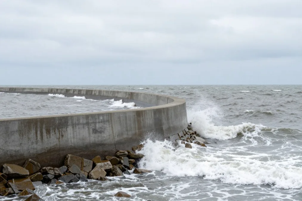
The massive civil engineering response in Galveston set new precedents for coastal fortification.
1928 Okeechobee Hurricane
Also known as the San Felipe Segundo hurricane, this ferocious system devastated Puerto Rico as a Category 5 cyclone on September 13, 1928, before tracking toward the Florida mainland. The storm swept across Puerto Rico with extreme sustained winds, flattening agricultural sectors and claiming hundreds of lives. Continuing northwest across the Atlantic, the cyclone maintained immense power before striking southern Florida days later.
The storm made landfall near Palm Beach as a Category 4 system on September 16, pushing ocean water inland before its center crossed over Lake Okeechobee. Extreme winds generated a lethal lake surge that ruptured small earthen dikes along the southern perimeter, drowning surrounding farming settlements beneath feet of muddy floodwater. The official death toll in Florida reached at least 2,500 people, with modern historical research suggesting total fatalities across all affected territories exceeded 4,000.
- Destroyed hundreds of square miles of inland agricultural communities surrounding Belle Glade and Pahokee.
- Spurred Congressional passage of the Flood Control Act to build the massive concrete Herbert Hoover Dike.
- Demonstrated that inland freshwater bodies can produce surge casualties comparable to open ocean shores.
The tragic loss of life, which disproportionately affected migrant agricultural laborers, highlighted severe gaps in rural emergency notification. The disaster forced federal authorities to take direct responsibility for regional flood control and reservoir containment around major inland waterways.
Hurricane Katrina (2005)
Hurricane Katrina made landfall near Buras-Triumph, Louisiana, on August 29, 2005, as an expansive Category 3 storm after reaching Category 5 intensity over the central Gulf. While sustained winds caused significant damage along coastal communities, the system generated an unprecedented storm surge that overwhelmed coastal defenses across eastern Louisiana and Mississippi. The storm surge penetrated deep into bays and drainage canals, placing immense hydrostatic stress on municipal levee structures.
Multiple structural failures throughout the New Orleans levee network allowed Lake Pontchartrain and regional industrial canals to flood approximately eighty percent of the city. More than 1,800 people died across Louisiana, Mississippi, and neighboring states due to acute drowning and extended post-storm infrastructure collapse. Direct economic losses exceeded $125 billion in unadjusted figures, establishing Katrina as the costliest tropical cyclone in modern history with adjusted costs surpassing $190 billion.
The systemic levee failures prompted a complete multi-billion-dollar redesign of the New Orleans Hurricane and Storm Damage Risk Reduction System by federal engineers.
Katrina reshaped emergency disaster coordination, leading to fundamental restructuring within the Federal Emergency Management Agency and the National Hurricane Center. The displacement of hundreds of thousands of residents altered demographic patterns across the American South for decades.
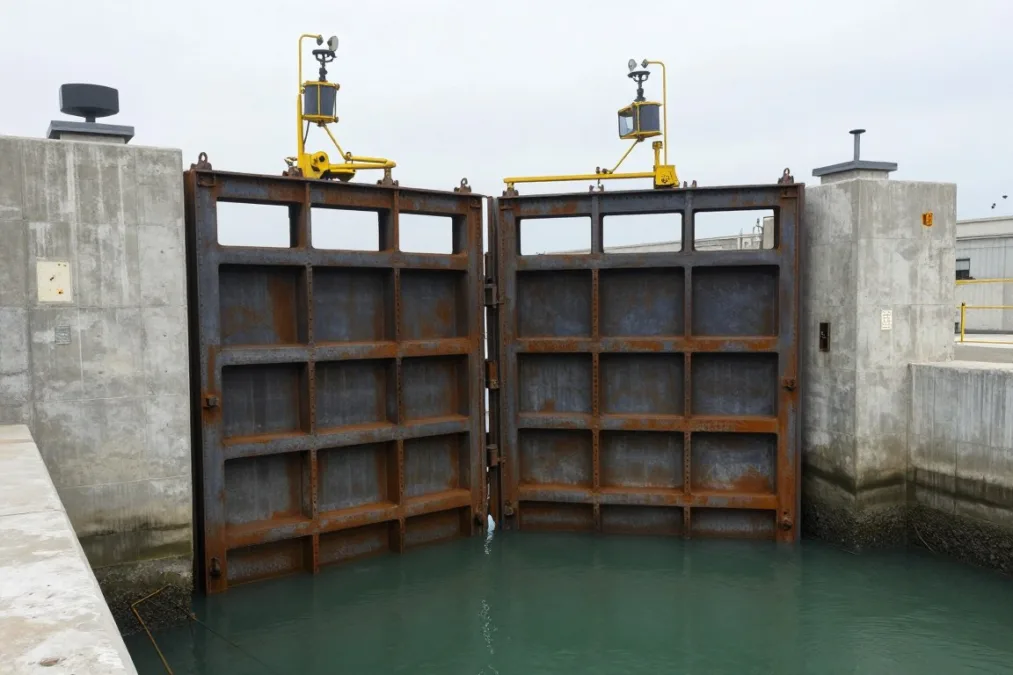
Modern floodwalls and automated drainage gates replaced compromised earthen earthen structures after 2005.
Hurricane Maria (2017)
Striking Puerto Rico on September 20, 2017, Hurricane Maria made landfall near Yabucoa as a high-end Category 4 cyclone with sustained winds near 155 mph. The compact, intense eyewall traversed the island diagonally, stripping mountain forests, destroying bridges, and tearing apart residential structures. The storm arrived just weeks after Hurricane Irma brushed the territory, leaving the local ecosystem and physical utilities exceptionally fragile.
The entire electrical grid collapsed upon landfall, cutting power, cellular communication, and potable water access for millions of residents across mountainous and urban sectors. While initial governmental counts listed only 64 direct casualties, independent epidemiological assessments commissioned by the local government established an official death toll of 2,975 individuals. Economic damage estimates exceeded $90 billion, severely destabilizing the island’s health services and municipal operations.
- Induced the longest electrical blackout in United States history, spanning several months in remote mountain regions.
- Severed potable water supplies, leading to secondary waterborne disease outbreaks across rural sectors.
- Accelerated federal modernization initiatives for tropical island power grids and critical medical supply chains.
The immense logistical challenges of offshore disaster recovery forced emergency managers to reevaluate maritime relief delivery mechanisms for non-contiguous jurisdictions. Maria underscored the acute long-term mortality risks tied to cascading infrastructure failures following direct cyclone impacts.
1935 Labor Day Hurricane
The 1935 Labor Day Hurricane struck the middle Florida Keys on September 2 as the most intense tropical cyclone ever recorded to hit the mainland United States by central pressure. The compact system carried an extraordinary barometric pressure of 892 millibars (26.35 inches) and maximum sustained winds estimated at 185 mph. The storm generated a sudden, towering storm surge that completely washed over lower-lying islands between Key Largo and Marathon.
Among the victims were hundreds of World War I veterans stationed in work camps to construct the Overseas Highway under federal relief programs. An evacuation train dispatched from the mainland was derailed by the oncoming wall of water, leaving rescue workers powerless to intervene. The disaster claimed more than 400 lives, sweeping structures and railway tracks entirely into the Gulf of Mexico.
Compact, rapidly intensifying cyclones like the 1935 event pose severe evacuation risks on narrow coastal barrier islands with limited roadway escape paths.
The complete destruction of the Florida East Coast Railway’s overseas line ended train service to Key West, with surviving bridge piers later repurposed for automobile highway travel. Meteorologists continue to study the storm’s extreme deepening rate as a classic example of rapid tropical cyclone intensification over shallow, heated ocean waters.
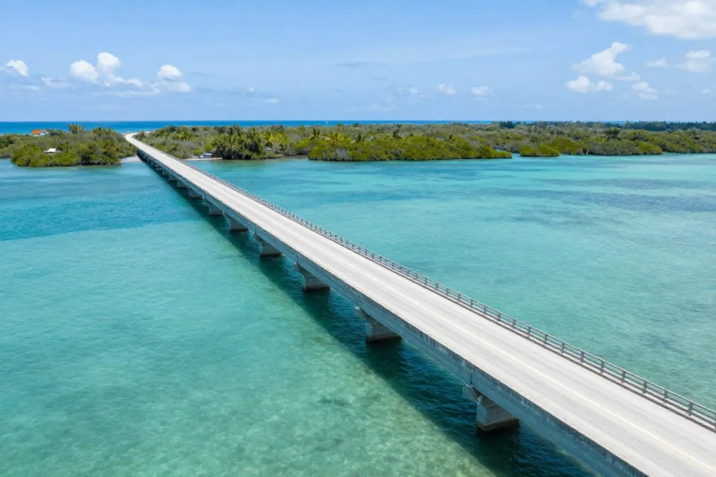
The highway system across the Florida Keys was rebuilt upon the structural foundations left by the 1935 storm.
Hurricane Harvey (2017)
After rapidly strengthening in the western Gulf, Hurricane Harvey made landfall near Rockport, Texas, on August 25, 2017, as a major Category 4 system. While coastal communities suffered acute structural wind damage, the storm’s most catastrophic phase unfolded after its forward motion ground to a near complete halt. Trapped between competing atmospheric pressure ridges, the cyclone meandered over southeastern Texas for multiple days, drawing continuous deep moisture from the Gulf.
Harvey dropped more than 60 inches of rain over portions of southeastern Texas, setting the continental United States record for tropical cyclone precipitation. Catastrophic freshwater flooding overwhelmed retention basins,bayous, and suburban communities across the Greater Houston metropolitan region. More than 100 people died, and property losses totaled approximately $125 billion, matching Hurricane Katrina as one of the costliest atmospheric catastrophes on record.
- Concentrated along immediate ocean shorelines.
- Driven primarily by atmospheric pressure and wind fetch.
- Recedes rapidly as the storm moves inland.
Coastal Surge Threats
- Expands hundreds of miles across inland river basins.
- Driven by slow system speed and deep moisture plumes.
- Persists over multiple days within populated watersheds.
Stalled Rainfall Floods
Harvey highlighted that extreme tropical storm risks extend far beyond oceanfront property lines. The disaster led to major urban policy debates regarding permeable surfaces, reservoir spillway management, and zoning restrictions across expansive coastal floodplains.
Hurricane Camille (1969)
Hurricane Camille was an exceptionally powerful Category 5 system that struck the Mississippi coast near Waveland on the night of August 17, 1969. Sustained winds near the center exceeded 175 mph, accompanied by a record-setting storm surge that climbed over twenty-four feet above normal sea level. Coastal structures across Pass Christian, Long Beach, and Gulfport were erased down to bare concrete foundations by hydrodynamic wave pressure.
After decimating the Gulf Coast, the weakening system tracked northeastward across the Appalachian Mountains, interacting with a stalled frontal boundary. On the night of August 19, Camille unleashed sudden torrential rainfall over Nelson County, Virginia, generating widespread mountain mudslides and flash floods that caught valley residents unprepared. The storm caused 259 recorded deaths, with more than 100 fatalities occurring inland due to overnight mountain flooding.
Camille spurred the development of the Saffir-Simpson Hurricane Wind Scale to help public safety officials translate raw barometric pressure into understandable structural hazard ratings.
Economic damage reached roughly $1.4 billion in 1969 dollars, equivalent to more than $10 billion in modern currency. The twin blows of catastrophic ocean surge and mountain flash floods demonstrated the varied ways a single tropical system can generate mass casualties across geographically diverse states.
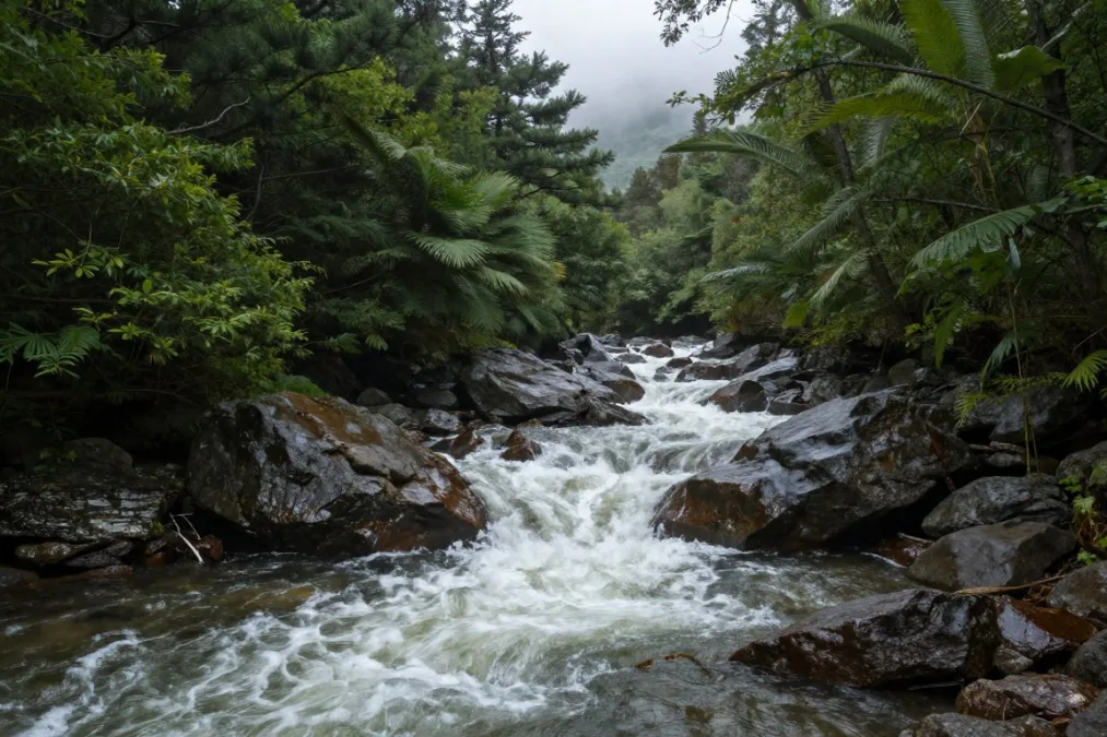
Inland mountain ranges face extreme flash flooding when decaying tropical low-pressure systems stall over elevated terrain.
Hurricane Andrew (1992)
Hurricane Andrew made landfall near Homestead, Florida, on August 24, 1992, striking Miami-Dade County as an exceptionally compact Category 5 system. Packing sustained winds of 165 mph with peak gusts exceeding 175 mph, the cyclone decimated entire subdivisions of residential housing. Tens of thousands of homes were completely stripped of their roofs and walls, leaving more than 150,000 residents without habitable shelter within a matter of hours.
The storm caused 65 total fatalities, an exceptionally low death toll given the scale of wind destruction, primarily due to timely inland evacuations. Total economic damage approached $27 billion in 1992 figures, causing insolvency for nearly a dozen regional property insurance carriers. Post-storm architectural forensic reviews uncovered widespread deficiencies in construction quality, fastener spacing, and local building code enforcement.
Building Code Reforms
- Mandated impact-resistant window glass or exterior hurricane shutters.
- Enforced strict structural tie-down clips connecting roofs to masonry walls.
- Established modern statewide engineering review standards across Florida.
Economic Complications
- Spurred severe regional property insurance cost increases.
- Led to the temporary withdrawal of major private underwriters from coastal markets.
- Raised initial construction costs for new single-family residential homes.
The structural lessons learned from Andrew fundamentally revolutionized modern construction engineering throughout hurricane-prone regions. Florida established the unified Florida Building Code, which remains an international benchmark for structural resistance against high-velocity tropical winds.
Hurricane Ian (2022)
Hurricane Ian struck southwestern Florida on September 28, 2022, making landfall near Cayo Costa as a high-end Category 4 cyclone with winds of 150 mph. The slow-moving, expansive core pushed an ocean surge reaching up to fifteen feet across Fort Myers Beach, Sanibel Island, and Cape Coral. The immense volume of incoming water flattened beachfront structures and washed away vital access causeways connecting barrier island communities to the mainland.
As the storm moved northeastward across the Florida peninsula, it dumped unprecedented rainfall across inland counties, swelling rivers that remained above flood stage for weeks. Ian crossed back over the Atlantic before making a final landfall in South Carolina as a Category 1 storm. The disaster caused more than 150 fatalities, with the vast majority occurring in Lee County, Florida, primarily due to coastal drowning.
Ian demonstrated the acute danger of late-stage track shifts, where small changes in landfall trajectory can direct severe storm surge wedges into densely populated bays.
Economic damage reached approximately $115 billion, ranking Ian as the third costliest cyclone in United States history behind Katrina and Harvey. The disaster intensified existing strains within regional property insurance markets and triggered accelerated infrastructure elevation mandates across exposed barrier coastlines.
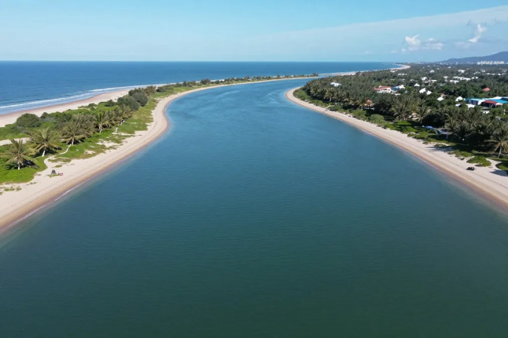
Barrier islands absorb severe ocean hydrodynamic forces during major Gulf of Mexico cyclone landfalls.
Hurricane Sandy (2012)
Although officially classified as a post-tropical cyclone just prior to landfall near Brigantine, New Jersey, on October 29, 2012, Sandy operated with the destructive footprint of an immense hurricane. The storm featured an extraordinary tropical wind field spanning nearly one thousand miles across, driving an enormous ocean surge into the New York and New Jersey metropolitan coastlines. The surge coincided with astronomical high tides, amplifying water levels to historic peaks across Lower Manhattan, Staten Island, and coastal Long Island.
Seawater inundated subway tunnels, submerged underground electrical substations, and swept away boardwalk communities along the Jersey Shore. More than 100 direct and indirect deaths were recorded in the United States, along with widespread power outages that left millions without heat in dropping autumn temperatures. Economic damage across the Mid-Atlantic and Northeast exceeded $70 billion in raw losses, ranking among the costliest disasters in American history.
- Submerged vital regional transportation arteries, including commuter rail and highway vehicular tunnels.
- Forced major utilities to harden coastal electrical substations against salt-water submersion.
- Accelerated the planning of regional coastal sea gates and integrated urban flood walls around New York Harbor.
Sandy expanded public awareness of tropical hazards beyond traditional southern latitudes, illustrating how massive hybrid systems can devastate cold-water northern metropolitan centers. The event prompted comprehensive federal reviews of storm surge categorization and coastal flood modeling.
Assessing Uncertainty in Historical Tropical Cyclone Records
Historical meteorological records inevitably reflect the technological limitations of the eras in which storms occurred. Prior to the launch of weather satellites in the 1960s and the expansion of airborne reconnaissance flights, open-ocean cyclone intensity was estimated strictly from passing ship logs. Consequently, earlier systems may have achieved higher peak intensities than preserved in surviving archives.
Mortality counts from nineteenth- and early-twentieth-century storms also involve substantial estimation margins due to incomplete census records, especially in marginalized rural settlements. Through ongoing historical re-analysis projects, meteorologists continue to refine central pressure estimates, wind speeds, and landfall locations for historical storms.
| Era | Primary Detection | Fatality Accuracy | Analytical Challenge |
| Pre-1940 | Ship Reports | Broad Ranges | Incomplete rural census records and missing offshore data |
| 1940 to 1965 | Early Aircraft | Moderate Counts | Limited continuous tracking over open Atlantic waters |
| 1965 to Present | Satellite Radar | Verified Tallies | Calculating delayed indirect health and infrastructure deaths |
Frequently Asked Questions
Why does the 1900 Galveston hurricane have an estimated death range rather than an exact count?
Census tracking across the barrier island was incomplete in 1900, and thousands of victims were swept into the sea or destroyed during immediate recovery operations. Historians and meteorological researchers rely on contemporary municipal records and eyewitness accounts, which place the total between 6,000 and 12,000 deaths.
How do economists calculate inflation-adjusted damages for historical storms?
Economists adjust raw historical losses by applying consumer price indices, gross domestic product deflators, and regional coastal wealth metrics to historical property damage tallies. This process allows analysts to compare the physical capital destruction of past storms against modern financial losses.
What is the difference between direct and indirect hurricane fatalities?
Direct fatalities result immediately from physical forces such as storm surge drowning, flying debris trauma, or collapsing walls. Indirect deaths occur during the days or months following landfall due to power grid failure, contaminated water, lack of medical care, or carbon monoxide poisoning from generators.
Which physical factor historically causes the greatest loss of life during hurricane landfalls?
Storm surge has historically caused the vast majority of hurricane fatalities in coastal environments due to rapid water rise. In contrast, inland flooding from multi-day rainfall has become a primary driver of modern mortality as coastal evacuation procedures have improved.
Lasting Lessons from Historic Tropical Cyclones
The destructive legacy of America’s historic tropical cyclones highlights the ongoing necessity of resilient civil engineering, updated building codes, and early evacuation planning. While early warning satellites and reconnaissance flights have reduced direct storm surge mortality, growing coastal populations and sprawling infrastructure continue to escalate potential economic exposure. Maintaining fortified coastal barriers, elevating inland flood mitigation standards, and refining emergency communication remain essential strategies for mitigating future hurricane impacts.

Priyanka Pandey
Senior Research Editor · Top10Sense
Priyanka specializes in tech, consumer products, and digital trends. She combines hands-on testing, vendor interviews, and database research to create trustworthy “Top 10” rankings. Her work has been referenced by industry blogs and brand report pages.