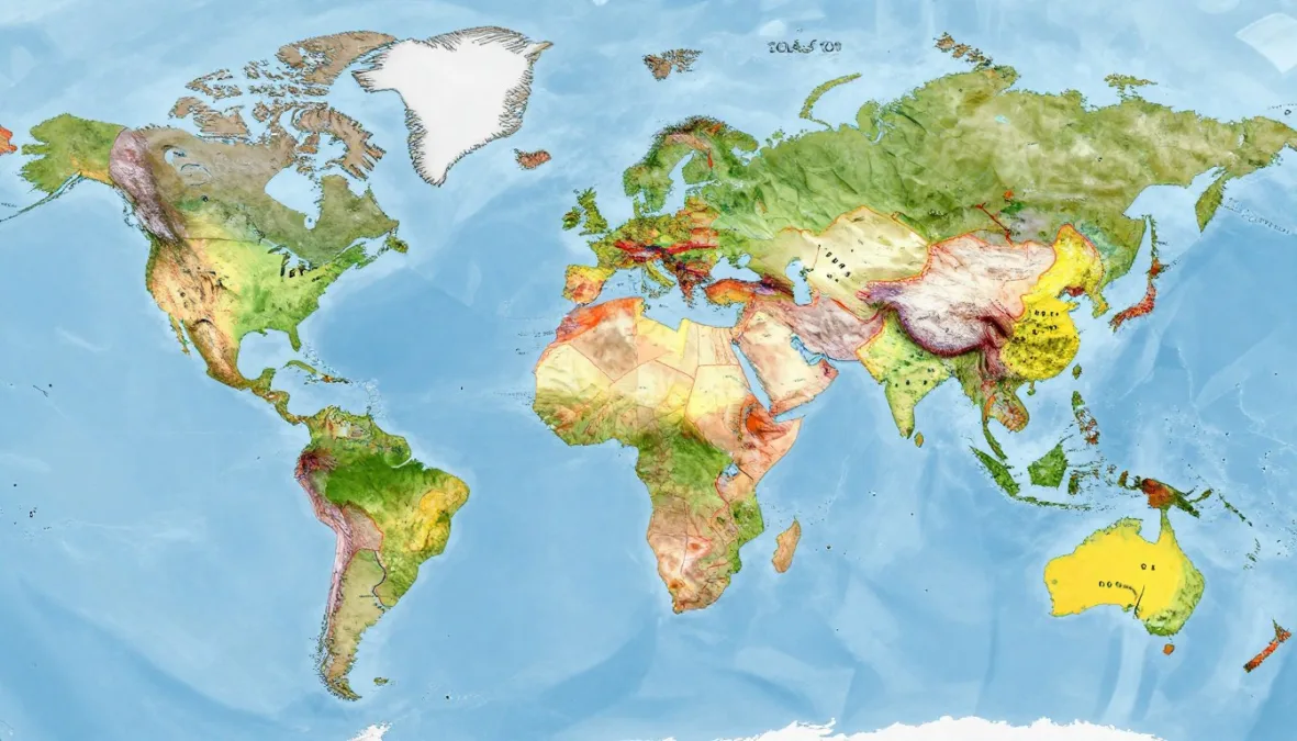
International boundaries define nations and shape global politics. The length of a country’s border reveals much about its geography and regional relationships. Some countries stretch across vast terrain, sharing boundaries with numerous neighbors.
Border lengths vary dramatically worldwide. A nation’s total land border depends on geographical size and the number of neighboring states. These boundaries cross diverse landscapes from mountains to rivers.
Understanding which countries have the longest borders provides insight into continental geography. This ranking explores the top ten nations with the most extensive land boundaries. Each entry reveals unique border characteristics and regional connections.
What Defines Border Length and Why It Matters
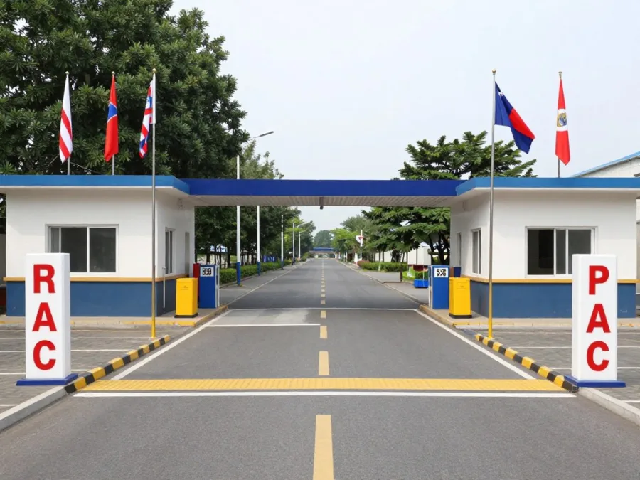
Border length refers to the total distance of land boundaries a country shares with neighboring states. Geographic surveys and bilateral agreements determine these measurements. International organizations maintain official records of boundary distances.
Several factors influence total border measurements. A country’s physical size plays a significant role in boundary extent. The number of neighboring nations directly impacts cumulative border length.
Key Fact: Countries with irregular coastlines or complex terrain often have longer borders than their area might suggest. Mountain ranges and river systems add considerable distance to boundary measurements.
Terrain dramatically affects border characteristics. Mountain boundaries follow natural ridgelines and peaks. Rivers create shifting borders that require constant monitoring and maintenance.
Political history shapes modern boundary configurations. Colonial divisions created many current borders across Africa and Asia. Independence movements redrew boundaries throughout the twentieth century.
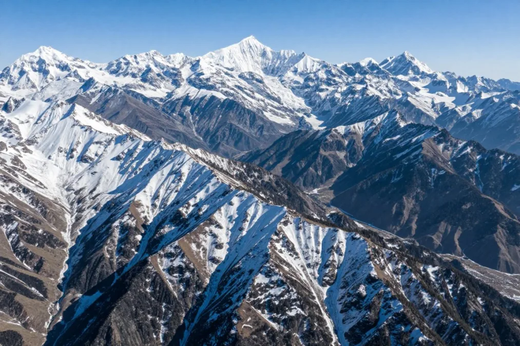
Border management requires significant resources and cooperation. Nations maintain checkpoints and patrol sections to ensure security. Bilateral agreements govern trade and movement across boundaries.
Understanding border lengths helps comprehend regional relationships. Countries sharing extensive boundaries develop unique diplomatic ties. Cross-border trade and cultural exchange flourish in border regions.
How We Ranked Countries with the Longest Borders
This ranking uses official data from geographic surveys and international organizations. Border measurements come from verified governmental sources and border commissions. We calculated total land border length for each country worldwide.
The methodology focuses exclusively on land borders. Maritime boundaries and coastal lengths are not included in these calculations. Only international boundaries between sovereign nations count toward total measurements.
Data Sources
- National geographic survey departments
- International boundary commissions
- United Nations geographic databases
- Bilateral border agreements between nations
Measurement Criteria
- Only land borders between countries included
- Official recognized boundaries counted
- Disputed territories noted separately
- Most recent survey data used
Border disputes can affect official measurements. Some regions have overlapping claims that create measurement uncertainty. This list uses internationally recognized boundaries where disputes exist.
Geographic precision has improved with modern technology. Satellite mapping and GPS systems provide accurate distance calculations today. Historical measurements sometimes differ from contemporary surveys.
1. China: The Country with the Longest Land Border
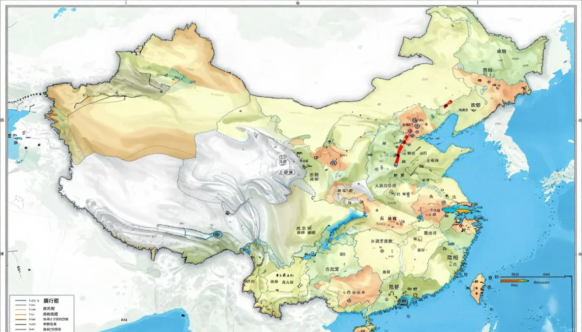
China holds the record for the longest total land border in the world. The nation shares boundaries with fourteen different countries across its vast territory. China’s total land border extends approximately 22,117 kilometers or 13,743 miles.
The extensive border stretches across diverse regions and terrain types. Northern sections cross grasslands and deserts in Mongolia and Russia. Western boundaries traverse the Himalayan mountain ranges shared with several nations.
| Neighboring Country | Border Length (km) | Border Length (miles) | Primary Terrain |
| Mongolia | 4,630 | 2,877 | Grasslands, desert |
| Russia | 4,209 | 2,615 | Rivers, forests |
| India | 3,488 | 2,167 | Mountains, plateaus |
| Myanmar | 2,129 | 1,323 | Mountains, rivers |
| Kazakhstan | 1,765 | 1,097 | Steppes, mountains |
China’s border with Mongolia ranks as one of the longest bilateral boundaries globally. This northern boundary crosses the Gobi Desert and Mongolian grasslands. The terrain presents unique challenges for border management and security.
Mountain ranges dominate western and southwestern border sections. The Himalayas form natural boundaries with India, Nepal, and Bhutan. These high-altitude areas include some of Earth’s most challenging terrain.
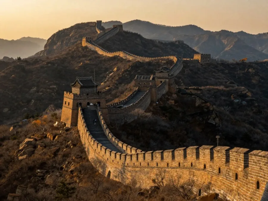
Rivers define portions of the border with Russia and North Korea. The Amur River creates a natural boundary in the northeast region. River borders require special agreements for navigation and resource sharing.
Southeast Asian borders include Vietnam, Laos, and Myanmar connections. These boundaries pass through tropical regions and dense forests. The area supports diverse ecosystems and cultural communities.
Central Asian borders connect China with five former Soviet republics. Kazakhstan, Kyrgyzstan, and Tajikistan share western boundaries. These sections cross remote mountain passes and high plateaus.
2. Russia: Spanning Two Continents with Extensive Borders
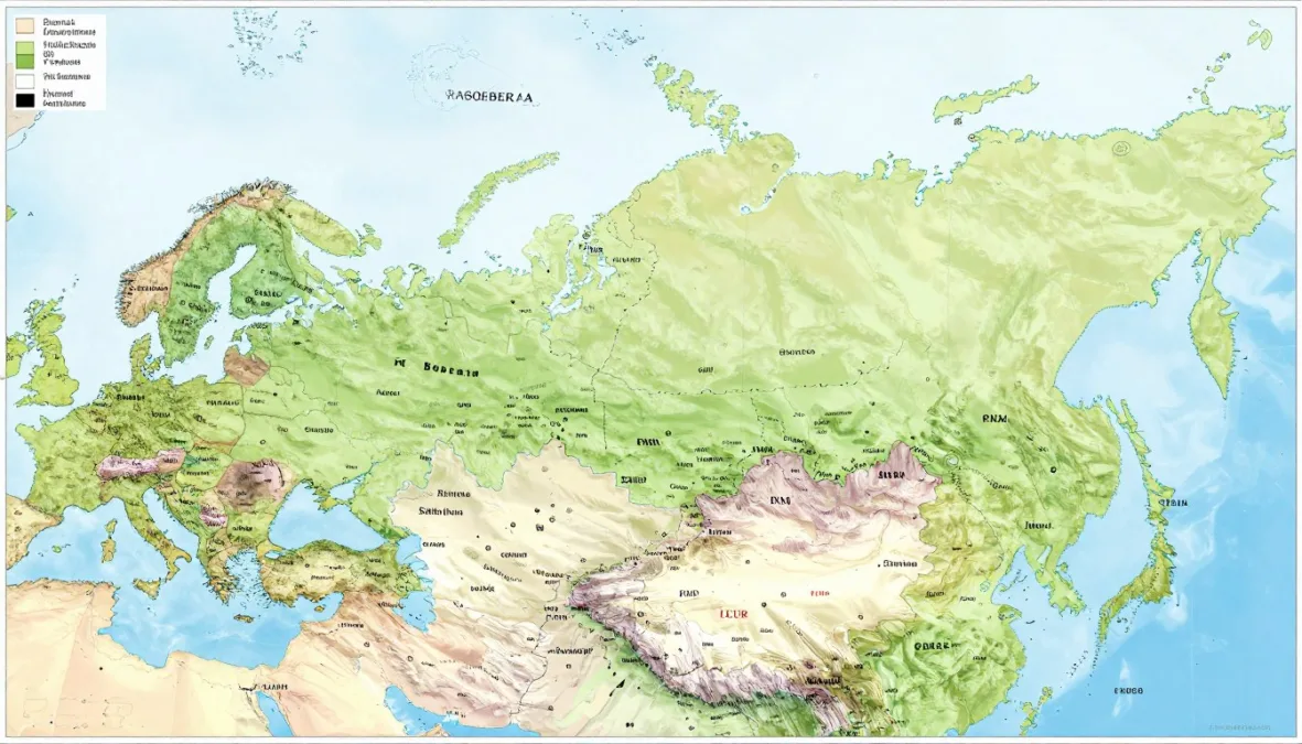
Russia possesses the second longest total land border globally. The country shares boundaries with fourteen nations across Europe and Asia. Russia’s total land border measures approximately 22,407 kilometers or 13,923 miles when including all boundaries.
The Russian Federation spans eleven time zones and two continents. European borders connect with Norway, Finland, and several Eastern European states. Asian boundaries extend from Mongolia to North Korea.
Norway shares Russia’s northernmost land border in the Arctic region. This boundary extends only 196 kilometers but crosses challenging polar terrain. The area remains sparsely populated with extreme weather conditions.
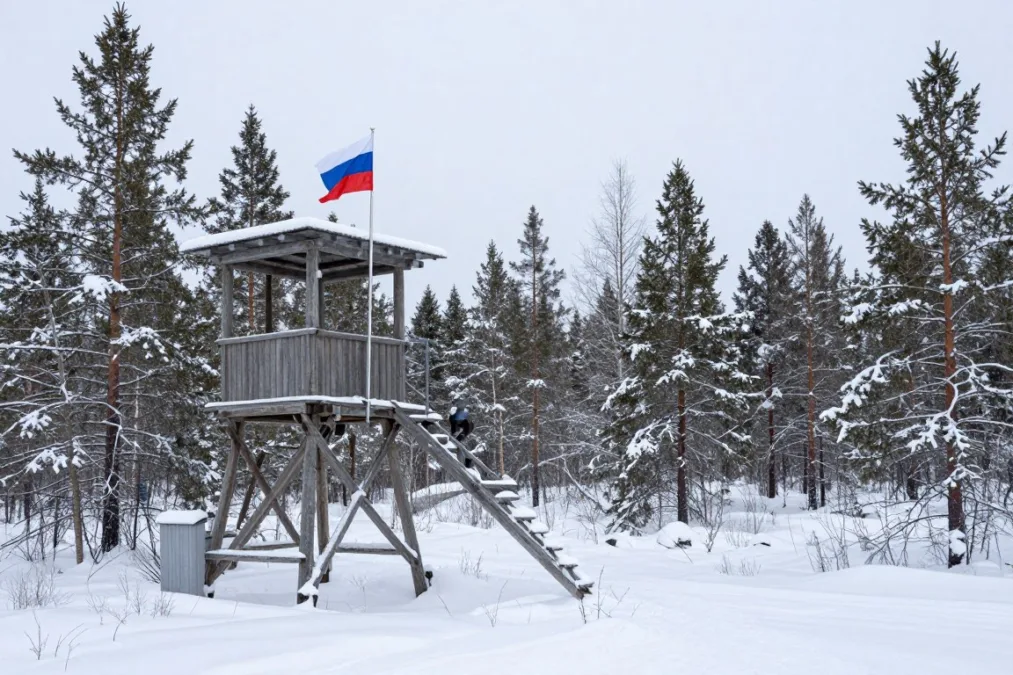
Finland and Russia share a significant northern European boundary. The border stretches 1,309 kilometers through forests and lakes. This region saw historical conflicts but maintains peaceful relations today.
Geographic Note: Russia’s border with Kazakhstan is the longest continuous bilateral border in the world, stretching over 7,644 kilometers across diverse landscapes from the Caspian Sea to the Altai Mountains.
The Kazakhstan border represents Russia’s longest single boundary. This southern border extends 7,644 kilometers across steppes and mountains. The vast distance crosses mostly unpopulated areas of Central Asia.
China and Russia share a complex eastern boundary. The border follows rivers and mountain ranges for 4,209 kilometers. Historical tensions have given way to cooperative border management.
Mongolia borders Russia to the south across Siberian regions. This 3,452-kilometer boundary crosses remote wilderness areas. Few official crossing points exist along this extensive border.
European sections include borders with Estonia, Latvia, Lithuania, and Poland. These boundaries total relatively shorter distances but carry historical significance. The region experiences higher population density than Asian sections.
3. Brazil: South America’s Border Leader
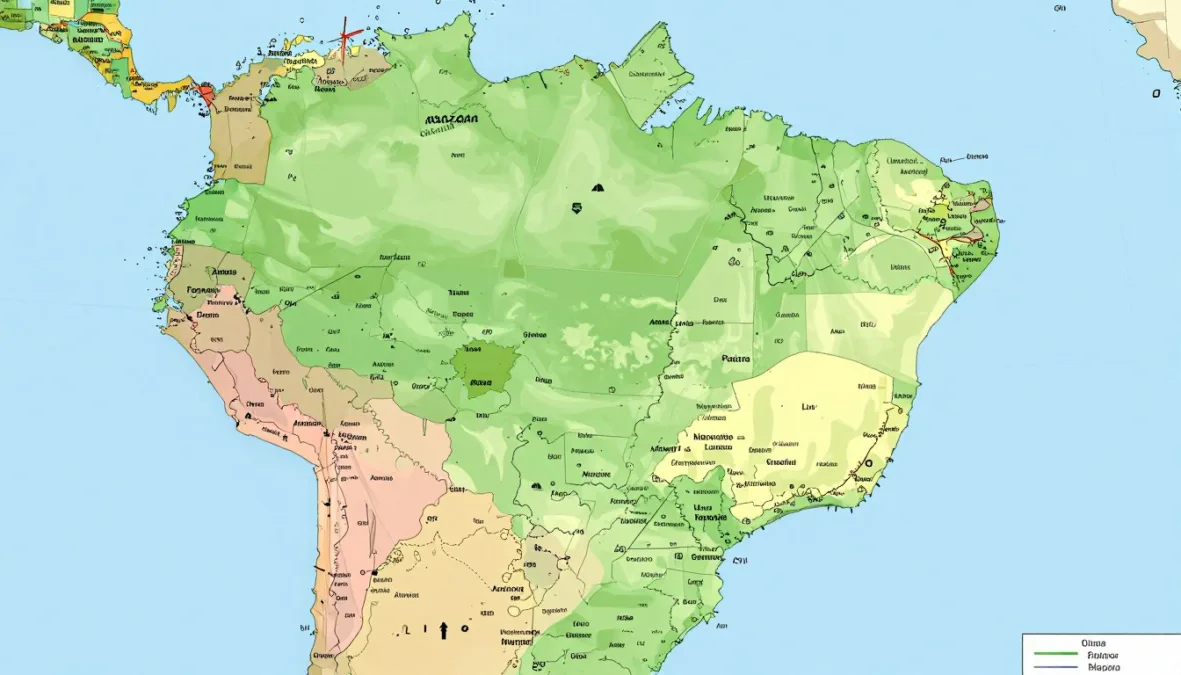
Brazil ranks third globally for total land border length. The nation shares boundaries with ten South American countries. Brazil’s total land border extends approximately 16,145 kilometers or 10,032 miles.
Only two South American nations do not border Brazil. Chile and Ecuador remain the exceptions on the continent. Every other mainland South American country shares a boundary with Brazil.
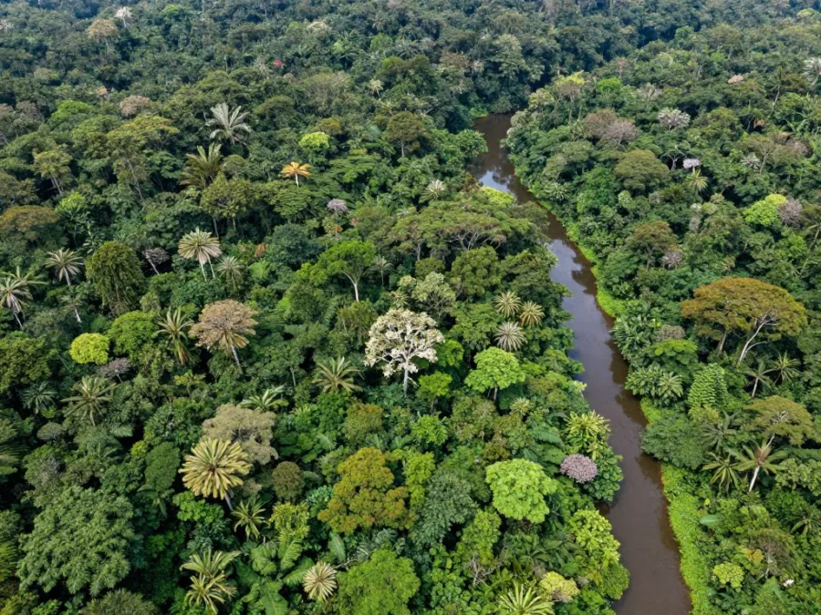
The Amazon rainforest covers much of Brazil’s northern border regions. Boundaries with Venezuela, Guyana, Suriname, and French Guiana cross tropical terrain. Dense jungle makes these sections challenging to patrol and manage.
Venezuela shares Brazil’s longest single border among neighbors. This northern boundary stretches 2,137 kilometers through remote areas. The region includes parts of the Guiana Highlands and rainforest.
Bolivia and Brazil share an extensive western boundary. The border measures 3,403 kilometers across diverse landscapes. Sections pass through the Pantanal wetlands and Amazon basin.
Northern Borders
- Venezuela: 2,137 km through highlands
- Guyana: 1,308 km across rainforest
- Suriname: 515 km in jungle regions
- French Guiana: 649 km tropical boundary
Western and Southern Borders
- Bolivia: 3,403 km diverse terrain
- Peru: 2,659 km Amazon region
- Paraguay: 1,339 km rivers and wetlands
- Argentina: 1,263 km southern boundary
Peru borders Brazil in the western Amazon region. The 2,659-kilometer boundary follows rivers and forest areas. This section remains one of Earth’s most biodiverse border regions.
Colombia shares a northern border with Brazil in the Amazon. The 1,790-kilometer boundary crosses remote jungle territory. Indigenous communities live in parts of this border area.
Southern boundaries include Paraguay, Argentina, and Uruguay connections. These sections cross more accessible terrain than northern borders. The region supports agriculture and ranching activities.
Rivers define many Brazilian boundary sections. The Amazon and its tributaries create natural borders in the north. Southern sections follow the Uruguay and Paraná rivers.
4. India: Subcontinent Border Complexity
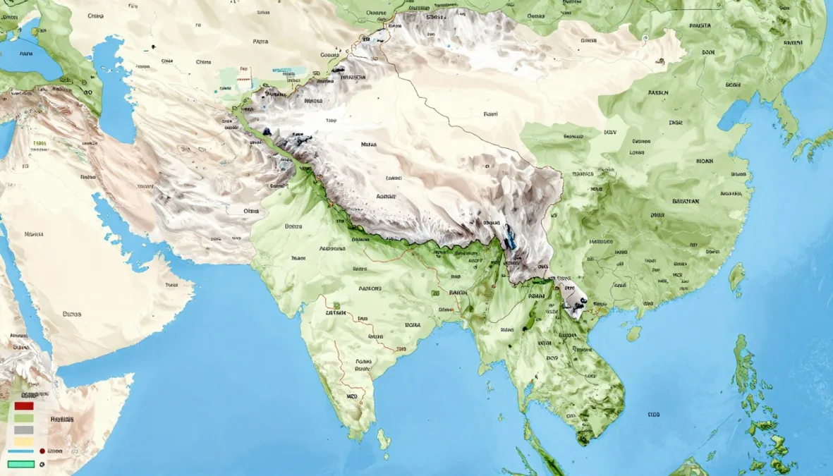
India holds the fourth position for longest total land border. The country shares boundaries with seven nations across South Asia. India’s total land border measures approximately 15,106 kilometers or 9,387 miles.
The Himalayan mountain range dominates India’s northern borders. Boundaries with China, Nepal, and Bhutan follow high-altitude terrain. These sections include some of the world’s highest border crossings.
Bangladesh shares the longest border with India among all neighbors. The boundary extends 4,142 kilometers around Bangladesh’s perimeter. This border includes numerous enclaves and complex territorial arrangements.
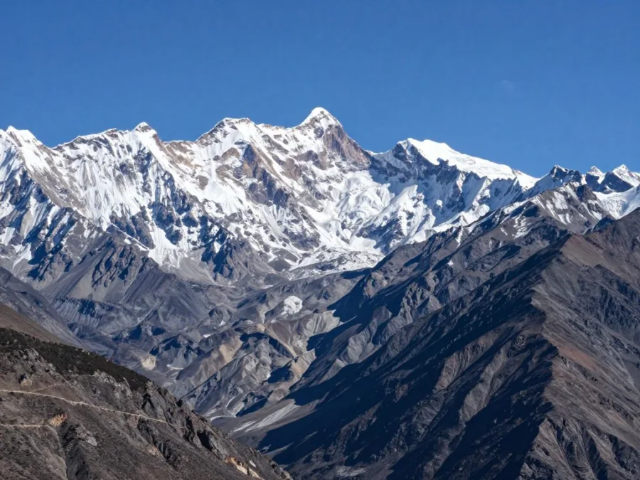
China and India share a disputed boundary in several regions. The border measures approximately 3,488 kilometers across challenging terrain. Parts of this boundary remain contested territory between two nations.
Pakistan borders India to the west across diverse landscapes. The 3,310-kilometer boundary includes desert, plains, and mountain sections. This border remains heavily militarized with ongoing tensions.
Border Fact: India and Bangladesh share one of the world’s most complex borders, with former enclaves (small territories completely surrounded by the other country) only resolved through a 2015 land boundary agreement.
Nepal’s entire southern boundary connects with India. The 1,770-kilometer border crosses the Himalayan foothills and plains. Open boundary agreements allow free movement between the two countries.
Myanmar shares India’s eastern border through mountainous regions. The 1,468-kilometer boundary crosses remote areas with limited infrastructure. Several ethnic groups live in this border territory.
Bhutan maintains close relations with India along their border. The 659-kilometer boundary follows the Himalayan southern slopes. India provides significant support for Bhutan’s external affairs.
Afghanistan shares a small border section with India. This 106-kilometer boundary exists in the disputed Kashmir region. The area remains subject to territorial claims by multiple nations.
Download Your Free World Borders Reference Guide
Get instant access to our comprehensive map showing all border lengths, neighboring countries, and geographic features. Perfect for students, travelers, and geography enthusiasts who want quick reference to global border data.
5. Kazakhstan: Central Asian Border Giant
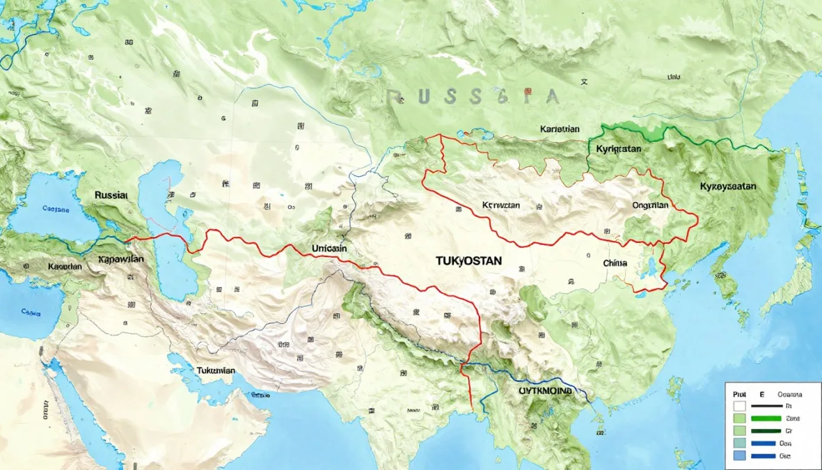
Kazakhstan ranks fifth worldwide for total land border length. The Central Asian nation shares boundaries with five countries. Kazakhstan’s total land border extends approximately 13,364 kilometers or 8,303 miles.
Russia forms Kazakhstan’s longest bilateral border globally. The northern boundary stretches 7,644 kilometers across vast steppes. This represents the world’s longest continuous land border between two states.
The Kazakhstan-Russia border crosses mostly flat terrain. Steppes and grasslands dominate the landscape along this boundary. Few natural barriers exist across much of this extensive section.
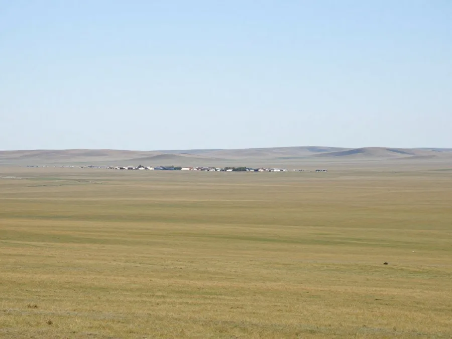
China shares Kazakhstan’s southeastern boundary. The border measures 1,765 kilometers through mountain and steppe regions. Ancient Silk Road trade routes crossed this area for centuries.
Uzbekistan borders Kazakhstan to the south. The 2,330-kilometer boundary includes the Aral Sea region. Environmental challenges affect this border area today.
| Border Country | Length (km) | Terrain Type | Notable Features |
| Russia | 7,644 | Steppe, grasslands | Longest bilateral border worldwide |
| Uzbekistan | 2,330 | Desert, Aral Sea | Environmental challenges |
| China | 1,765 | Mountains, steppe | Historic Silk Road region |
| Kyrgyzstan | 1,212 | Mountains | Tian Shan ranges |
| Turkmenistan | 413 | Desert, Caspian coast | Shortest Kazakhstan border |
Kyrgyzstan shares a mountainous border with Kazakhstan. The 1,212-kilometer boundary crosses the Tian Shan mountain ranges. High-altitude passes connect the two Central Asian nations.
Turkmenistan forms Kazakhstan’s shortest international boundary. The 413-kilometer border runs near the Caspian Sea coast. Desert terrain dominates this southwestern section.
The Caspian Sea borders Kazakhstan to the west. While not a land border, this massive inland body affects the region. Maritime boundaries exist with Russia and other Caspian states.
6. United States: North American Continental Borders
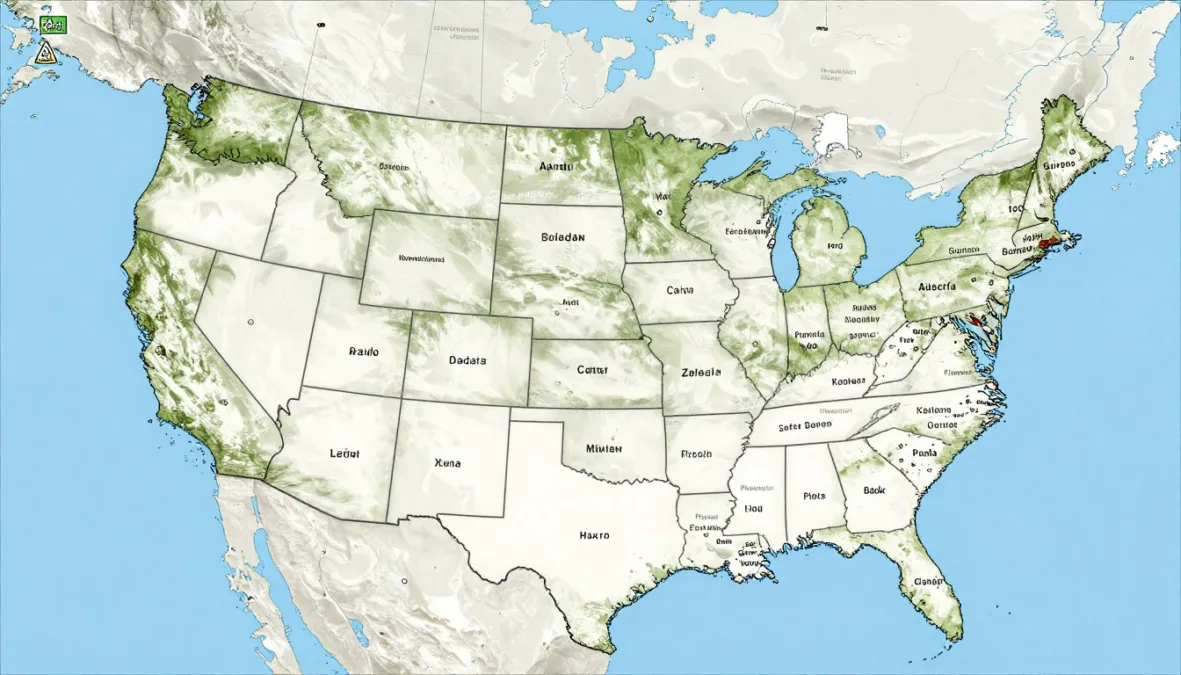
The United States holds sixth position for total land border length. The nation shares land borders with two countries across North America. The United States maintains approximately 12,048 kilometers or 7,487 miles of land borders.
Canada shares the longest international boundary with the United States. The border extends 8,891 kilometers including the Alaska section. This represents the world’s longest border between two countries by total distance.
The Canada-United States border crosses diverse terrain types. Eastern sections follow the Great Lakes and Saint Lawrence River. Western portions traverse mountain ranges including the Rockies.
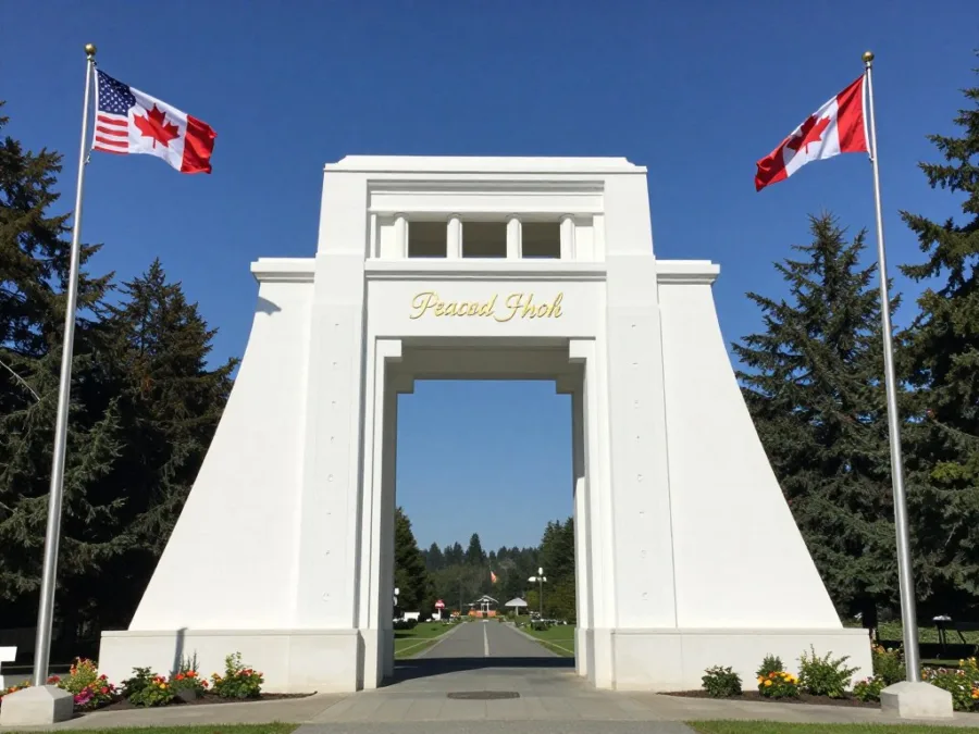
Alaska contributes significantly to the total border length. The state shares 2,475 kilometers of boundary with Canada. This northern section crosses remote wilderness and mountain terrain.
The contiguous United States border with Canada measures 6,416 kilometers. This boundary extends from the Atlantic to Pacific coasts. Numerous crossing points serve millions of travelers annually.
Border Milestone: The United States and Canada maintain the longest demilitarized border in the world, with minimal military presence along most sections, representing centuries of peaceful relations between the two nations.
Mexico shares the southern border with the United States. This boundary measures 3,155 kilometers from the Pacific to Gulf Coast. The border region supports significant population centers on both sides.
The Rio Grande River forms part of the border with Mexico. This natural boundary extends through Texas into the Gulf of Mexico. River management requires cooperation between both nations.
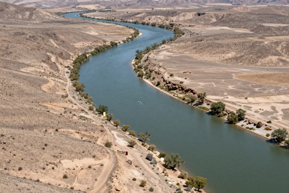
Desert terrain characterizes much of the southwestern border sections. Arizona and California boundaries cross challenging arid landscapes. These areas experience extreme temperatures and limited water resources.
Border infrastructure varies significantly across different sections. Some areas feature extensive barriers and monitoring systems. Other sections remain open terrain with periodic checkpoints.
The Great Lakes create unique border characteristics in the north. Water boundaries require special agreements for navigation and resources. Islands in the lakes have specific territorial designations.
7. Argentina: Southern Cone Border Network
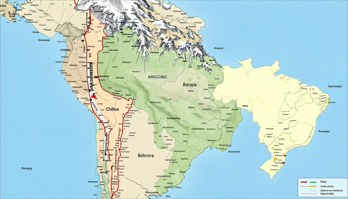
Argentina ranks seventh globally for total land border length. The South American nation shares boundaries with five neighboring countries. Argentina’s total land border measures approximately 11,968 kilometers or 7,436 miles.
Chile and Argentina share the longest border in South America. The boundary extends 6,691 kilometers along the Andes mountain range. This dramatic border follows high peaks and glacial valleys.
The Andes Mountains create a natural barrier between two nations. Border demarcation follows watershed principles along mountain ridges. Numerous peaks and passes mark the boundary line.
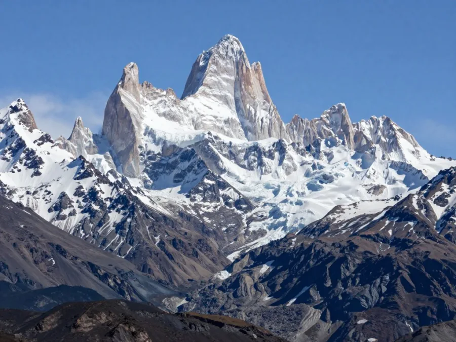
Bolivia shares Argentina’s northern border across diverse terrain. The 942-kilometer boundary crosses from mountains to lowlands. The region transitions from Andes highlands to forested areas.
Paraguay borders Argentina to the northeast along river systems. The 2,531-kilometer boundary follows the Paraguay and Paraná rivers. These waterways serve as natural borders and transportation routes.
Mountain Borders
- Chile: 6,691 km along Andes range
- Bolivia: 942 km mountain to lowland
- High-altitude passes and peaks
- Glacial valleys and watersheds
River Borders
- Paraguay: 2,531 km river boundary
- Brazil: 1,263 km mixed terrain
- Uruguay: 541 km river systems
- Major waterway transportation
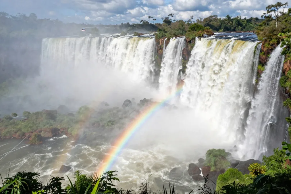
Brazil shares a northeastern border with Argentina. The 1,263-kilometer boundary includes the famous Iguazu Falls region. This area attracts millions of visitors annually.
Uruguay forms Argentina’s shortest international boundary. The 541-kilometer border follows the Uruguay River primarily. The region supports agricultural activities on both sides.
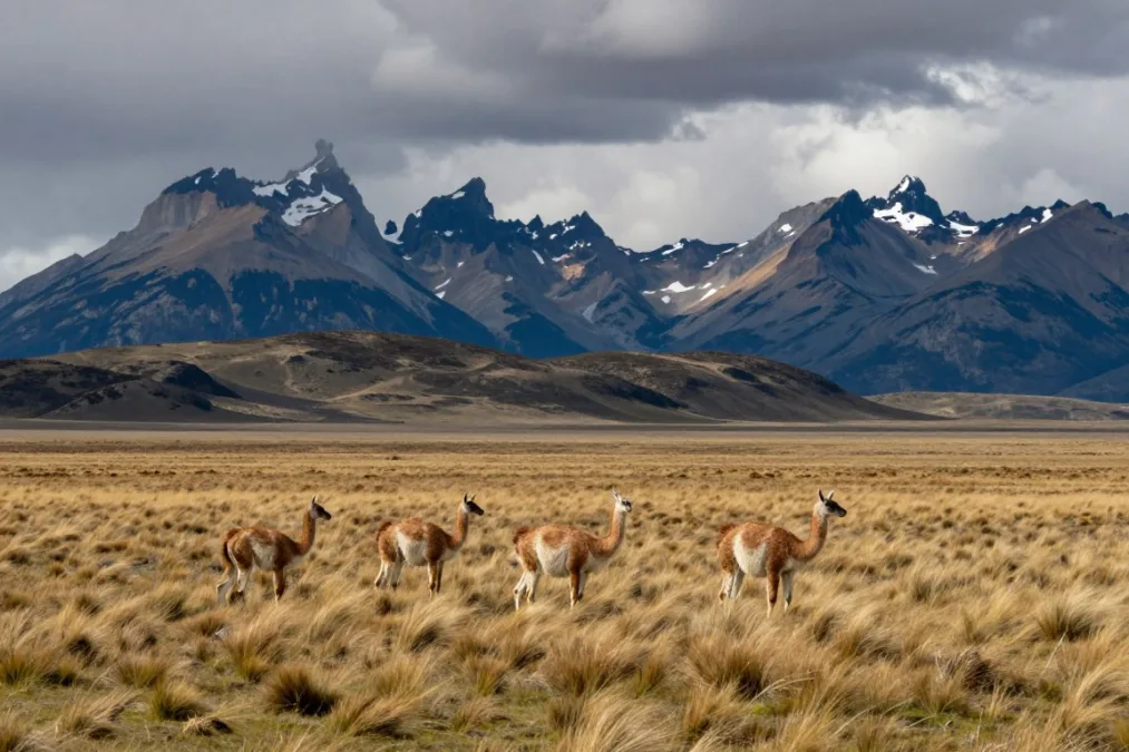
Patagonia dominates the southern border regions with Chile. This remote area features glaciers, mountains, and harsh weather. Few population centers exist in the far southern sections.
The Tierra del Fuego archipelago includes border territory. Argentina and Chile divide this southern island region. Maritime boundaries extend into the surrounding ocean areas.
8. Canada: North American Expanse
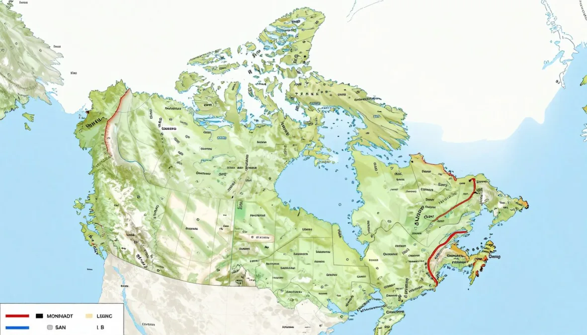
Canada holds eighth place for total land border length worldwide. The nation shares its only land border with the United States. Canada’s total land border measures approximately 8,891 kilometers or 5,526 miles.
The Canada-United States boundary represents the longest border between two countries. This international boundary extends from the Atlantic to Pacific oceans. Alaska creates a separate northern section of the border.
Eastern sections of the border follow the Great Lakes system. Water boundaries require special agreements and monitoring. The Saint Lawrence River creates part of the boundary.
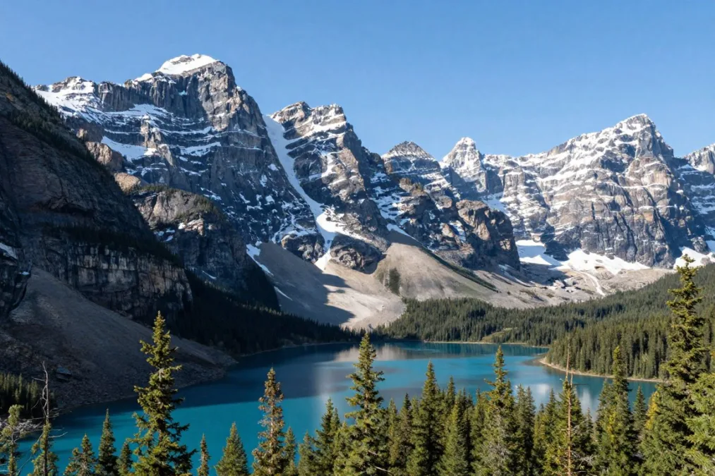
The western border crosses the Rocky Mountains into British Columbia. Mountain passes connect Canada and the United States in this region. The terrain becomes increasingly challenging toward the Pacific coast.
Prairie provinces share a long boundary across flat terrain. The border follows the 49th parallel through much of this section. Agricultural land extends on both sides of the boundary.
Geographic Fact: The Canada-US border is the world’s longest international boundary between two countries at 8,891 kilometers, yet remains largely undefended with most sections marked only by monuments and cleared land.
Alaska shares 2,475 kilometers of border with Canada. This northern boundary crosses remote wilderness and mountain ranges. The region experiences extreme weather and limited human settlement.
The border features over 100 official crossing points. Major cities on both sides operate busy international crossings. Remote sections may have limited or seasonal access.
Arctic regions create unique border considerations in the north. While Canada shares no land borders in the Arctic, maritime boundaries exist. Territorial waters extend into northern ocean areas.
The International Boundary Commission maintains border markers and surveys. Cleared land marks the boundary through forested regions. Monuments identify the border at regular intervals.
Border communities maintain close ties across the boundary. Economic integration connects cities in both nations. Cultural similarities characterize many border regions.
9. Mongolia: Landlocked Between Giants
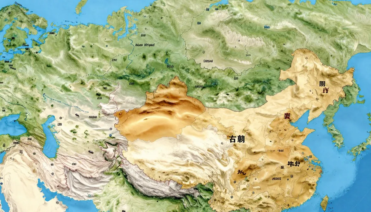
Mongolia ranks ninth globally for total land border length. The landlocked nation shares boundaries with only two countries. Mongolia’s total land border extends approximately 8,082 kilometers or 5,022 miles.
Russia borders Mongolia to the north across vast distances. This boundary measures 3,452 kilometers through Siberian regions. Remote wilderness characterizes much of this northern border.
China forms Mongolia’s southern and eastern boundaries. The border with China extends 4,630 kilometers across diverse terrain. This represents China’s longest single bilateral boundary.
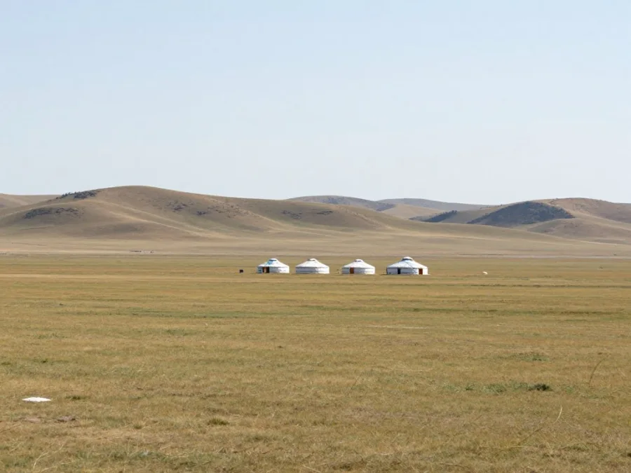
The Gobi Desert dominates southern border regions with China. Arid conditions create challenging environments for border communities. Limited infrastructure exists across much of this area.
Grasslands characterize northern sections along the Russian border. Steppe ecosystems support traditional nomadic lifestyles. These areas experience extreme temperature variations seasonally.
Northern Border (Russia)
- Length: 3,452 kilometers total
- Terrain: Siberian taiga and steppe
- Climate: Extreme continental conditions
- Population: Very sparse settlement
Southern Border (China)
- Length: 4,630 kilometers total
- Terrain: Gobi Desert and grasslands
- Climate: Arid to semi-arid
- Population: Limited border towns
Mountain ranges appear in western border sections. The Altai Mountains create dramatic landscapes in this region. These areas support unique ecosystems and wildlife.
Mongolia’s landlocked position affects its economic development. All trade must pass through Russian or Chinese territory. Border crossings serve as critical economic gateways.
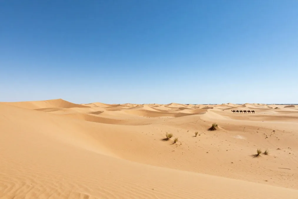
Limited official crossing points exist along both borders. Infrastructure development remains challenging in remote sections. Distance and harsh conditions affect border communities.
Traditional nomadic routes crossed these regions historically. Modern borders restrict some historical movement patterns. Border agreements address pastoral activities and seasonal migration.
10. Democratic Republic of the Congo: Central African Hub
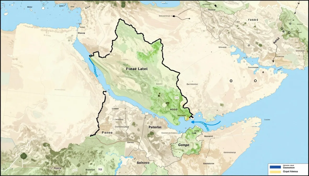
The Democratic Republic of the Congo rounds out the top ten. The Central African nation shares boundaries with nine different countries. The total land border measures approximately 10,481 kilometers or 6,512 miles.
Nine neighboring nations create complex border arrangements. The country connects with Angola, Zambia, Tanzania, and others. This extensive network reflects central Africa’s geography.
The Congo River forms natural boundaries in several regions. This massive river system creates part of the western border. River navigation affects border communities and trade.
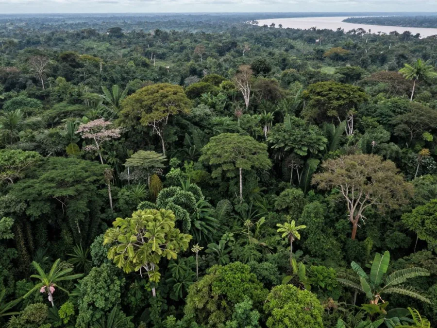
Angola shares multiple border sections with the DRC. The total boundary extends over 2,646 kilometers. These sections cross from rainforest to savanna terrain.
Zambia borders the DRC to the south and east. The 2,332-kilometer boundary includes mineral-rich regions. Mining activities influence both sides of this border.
| Neighboring Country | Border Length (km) | Region | Primary Features |
| Angola | 2,646 | Southwest/West | Multiple sections, diverse terrain |
| Zambia | 2,332 | South/Southeast | Mining regions, savannas |
| Tanzania | 479 | East | Great Lakes region |
| Uganda | 877 | Northeast | Lake Albert area |
| Rwanda | 221 | East | Volcanic highlands |
| Burundi | 236 | East | Lake Tanganyika |
| Central African Republic | 1,747 | North | Rainforest transition |
| South Sudan | 714 | Northeast | Savanna grasslands |
| Republic of Congo | 1,229 | West | Congo River boundary |
The Great Lakes region forms eastern borders. Rwanda, Burundi, Uganda, and Tanzania share boundaries here. Lakes create natural borders between several nations.
Central African Republic borders the DRC to the north. The 1,747-kilometer boundary crosses rainforest regions. This area transitions from dense jungle to savanna.
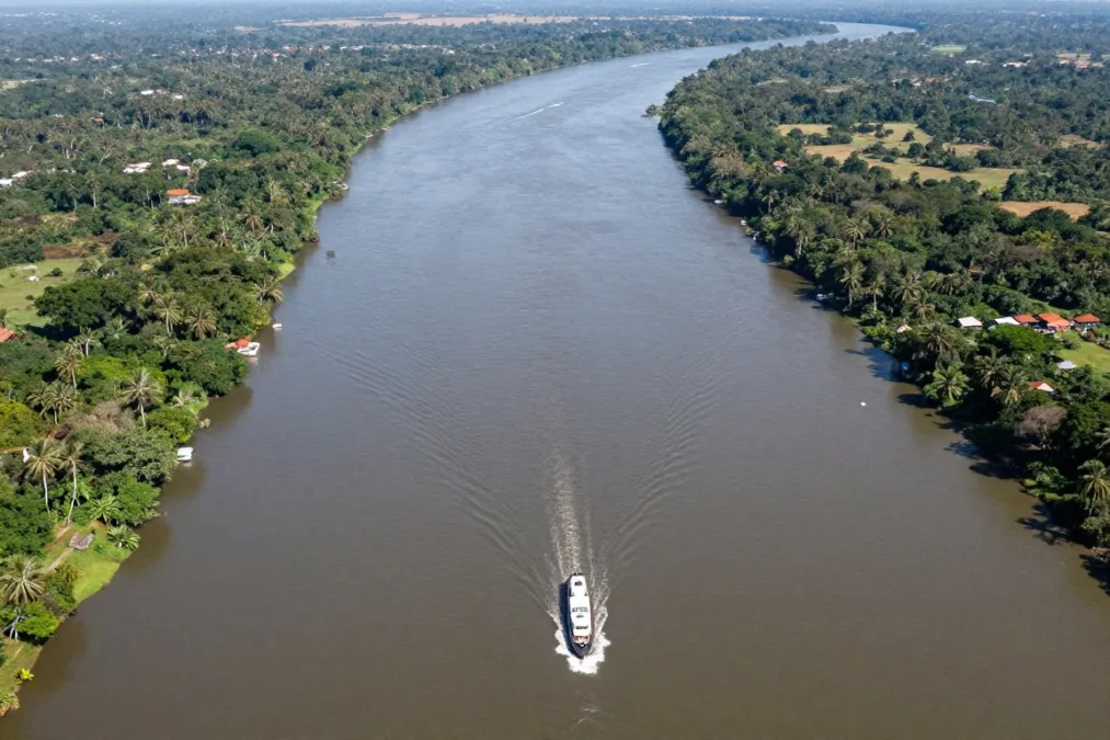
The Republic of Congo shares a western boundary. The Congo River creates much of this 1,229-kilometer border. Historical and cultural ties connect communities across the river.
South Sudan forms part of the northeastern boundary. The 714-kilometer border crosses transitional zones. Terrain shifts from rainforest to grassland savanna.
Dense rainforest complicates border management in many sections. Limited infrastructure affects accessibility and monitoring. Remote areas see minimal official presence.
Colonial-era boundary decisions shaped current borders. Artificial lines sometimes divide ethnic groups and natural regions. Modern states maintain these historical demarcations.
Comparative Analysis of the World’s Longest Borders
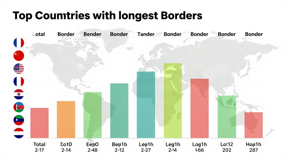
The top ten countries with the longest borders share common characteristics. Large land area typically correlates with extensive boundary length. Geographic position influences the number of neighboring states.
Continental giants dominate the ranking list. Russia, China, and Brazil occupy vast territories. The United States and Canada represent North American expanses.
Mountain ranges create many of the world’s longest borders. The Himalayas, Andes, and other ranges form natural boundaries. These terrain features provide clear demarcation between nations.
| Rank | Country | Total Border (km) | Number of Neighbors | Continent |
| 1 | China | 22,117 | 14 | Asia |
| 2 | Russia | 22,407 | 14 | Europe/Asia |
| 3 | Brazil | 16,145 | 10 | South America |
| 4 | India | 15,106 | 7 | Asia |
| 5 | Kazakhstan | 13,364 | 5 | Asia |
| 6 | United States | 12,048 | 2 | North America |
| 7 | Argentina | 11,968 | 5 | South America |
| 8 | Canada | 8,891 | 1 | North America |
| 9 | Mongolia | 8,082 | 2 | Asia |
| 10 | DR Congo | 10,481 | 9 | Africa |
Rivers serve as natural boundaries for many countries. The Amazon, Congo, and other major rivers define borders. Water boundaries require unique management approaches.
Asia dominates the list with multiple entries. China, Russia, India, Kazakhstan, and Mongolia represent the continent. Geographic diversity characterizes Asian border regions.
The Americas contribute four countries to the top ten. North and South American nations appear prominently. Continental geography creates extensive boundary systems.
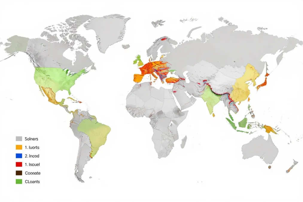
Border complexity varies significantly among ranked nations. Some countries share boundaries with numerous neighbors. Others maintain long borders with just one or two states.
Historical factors influenced current border configurations. Colonial divisions affected African and Asian boundaries. Independence movements redrew maps throughout the twentieth century.
Border Management and Security Considerations
Managing extensive land borders presents significant challenges. Countries invest heavily in border security and monitoring systems. Technology enhances surveillance capabilities across remote sections.
Personnel requirements increase with border length. Nations maintain border guards and customs officials at crossings. Remote sections may receive periodic patrols rather than constant presence.
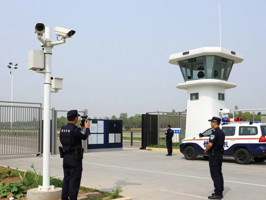
Infrastructure development supports border operations. Roads, communications, and facilities serve border regions. Investment levels vary based on strategic importance and resources.
Management Challenge: Countries with borders exceeding 10,000 kilometers face exponentially higher costs for security, infrastructure, and personnel compared to nations with shorter boundaries.
Environmental conditions affect border management approaches. Desert, mountain, and jungle terrain require different strategies. Weather impacts accessibility and operational capabilities.
International cooperation improves border efficiency. Bilateral agreements establish protocols and procedures. Joint operations address shared security concerns.
Technology integration modernizes border operations today. Satellite monitoring tracks remote areas continuously. Automated systems process travelers at busy crossings.
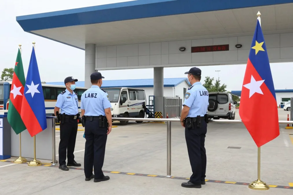
Economic considerations influence border policies. Trade facilitation requires efficient crossing procedures. Balanced approaches address security without hindering commerce.
Population density near borders affects management needs. Urban areas require different approaches than wilderness sections. Resources concentrate where activity levels justify investment.
Geographic and Political Significance of Long Borders
Border length reflects a nation’s geographic extent and position. Countries with extensive boundaries occupy significant continental space. Regional influence often correlates with territorial size.
Multiple border connections create diplomatic complexity. Nations sharing boundaries with numerous neighbors maintain varied relationships. Border issues affect bilateral and regional politics.

Trade relationships develop along border regions. Cross-border commerce benefits communities on both sides. Economic integration often exceeds political cooperation levels.
Cultural exchange flourishes in border areas. Shared languages and traditions span political boundaries. People maintain family and social ties across borders.
Economic Impacts
- Cross-border trade opportunities
- Shared resource management
- Labor market integration
- Infrastructure development needs
Political Considerations
- Diplomatic relationship complexity
- Security cooperation requirements
- Territorial dispute potential
- Regional influence factors
Border disputes occasionally affect international relations. Territorial disagreements persist in some regions. Peaceful resolution mechanisms address most boundary conflicts.
Natural resources near borders require cooperative management. Rivers, minerals, and forests span political boundaries. International agreements govern resource utilization.
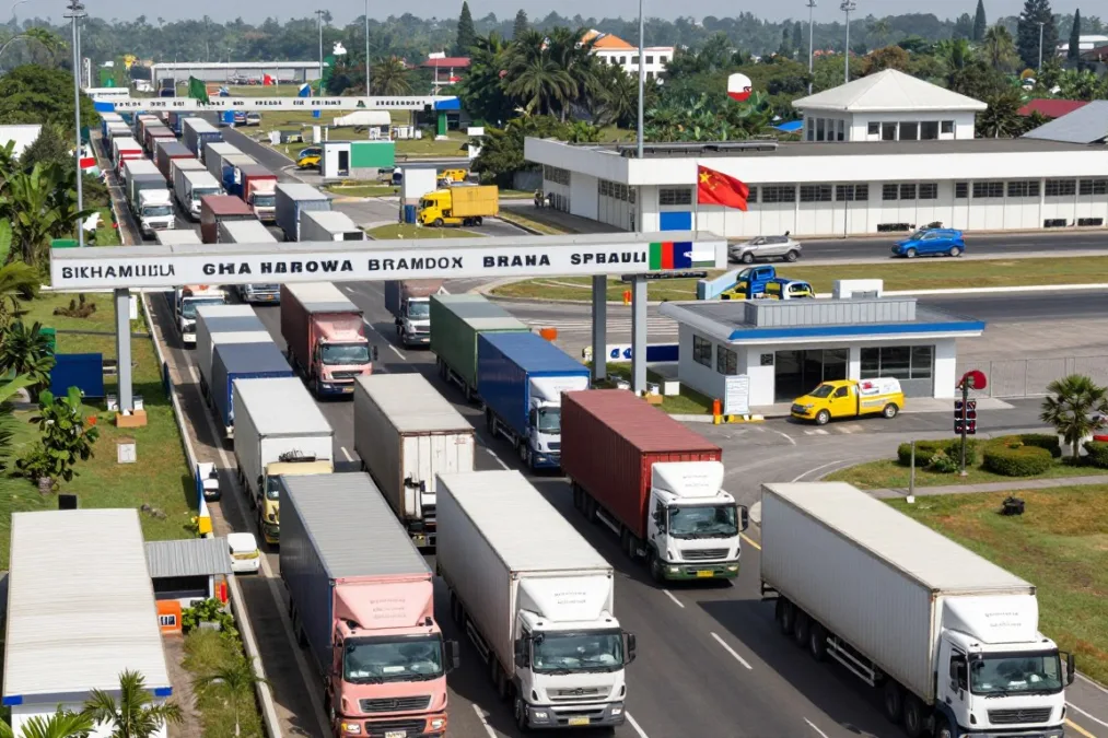
Migration patterns follow border regions historically. People move across boundaries for economic opportunities. Modern immigration policies regulate cross-border movement.
Environmental challenges cross political boundaries. Climate change affects border regions worldwide. Cooperative approaches address shared environmental concerns.
Fascinating Facts About the World’s Longest Borders
Border trivia reveals unexpected geographic relationships. The longest single bilateral boundary exists between Kazakhstan and Russia. This continuous border stretches over 7,600 kilometers.
Some countries share surprisingly long borders despite different sizes. Bangladesh and India maintain over 4,000 kilometers of boundary. The complex border includes former enclaves and territorial exchanges.
- DRC-Rwanda: 221 km between neighbors
- DRC-Burundi: 236 km short section
- Kazakhstan-Turkmenistan: 413 km minimal border
- DRC-Tanzania: 479 km Great Lakes region
Shortest Borders in Top 10
- Kazakhstan-Russia: 7,644 km world record
- Argentina-Chile: 6,691 km Andes boundary
- Mongolia-China: 4,630 km extensive section
- India-Bangladesh: 4,142 km complex border
Longest Single Borders
- River boundaries shift with water flow
- Mountain borders follow watershed lines
- Desert sections use astronomical markers
- Some borders cross active glaciers
Unique Border Features
The Canada-United States border crosses four time zones. Eastern sections experience Atlantic time while western areas use Pacific. Travelers adjust clocks multiple times crossing the continent.
Brazil shares borders with every South American nation except two. Only Chile and Ecuador lack direct boundaries with Brazil. This makes Brazil exceptionally well-connected regionally.
China and Russia both border fourteen different countries. These two nations tie for the most international neighbors. Geographic position and size create these extensive connections.
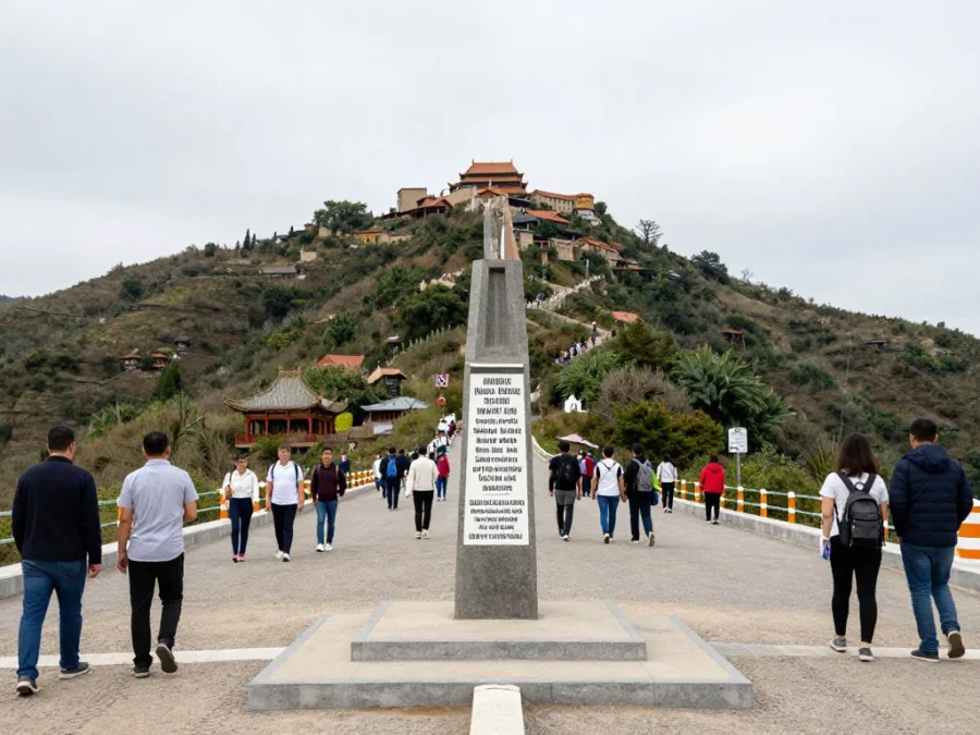
Some borders follow perfectly straight lines across terrain. The United States-Canada boundary uses the 49th parallel extensively. Surveyors created this artificial line through varied landscapes.
Natural features determine most ancient boundaries. Rivers, mountains, and valleys provided clear demarcation historically. Modern technology allows precise border definition anywhere.
Antarctica has no land borders between countries. International treaties govern the continent collectively. Territorial claims remain frozen under current agreements.
Border Regions as Travel Destinations
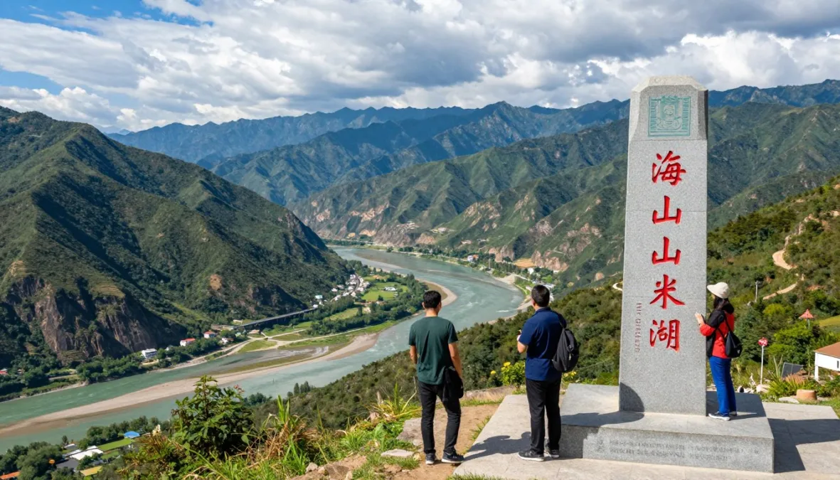
Many border regions attract tourism and visitors. Unique geographic features draw travelers to boundary areas. Natural landmarks often coincide with international borders.
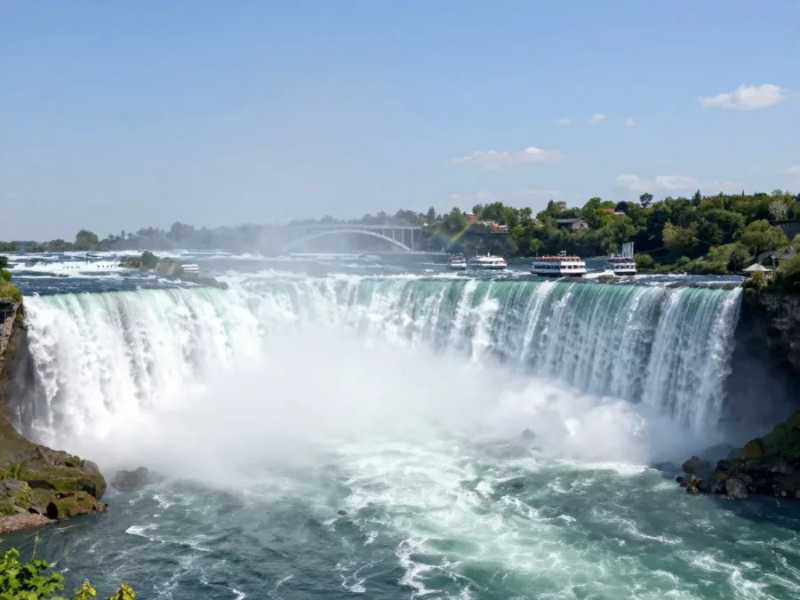
Niagara Falls represents a famous border attraction. The falls straddle the Canada-United States boundary. Millions visit this natural wonder annually.
Iguazu Falls mark the border between Argentina and Brazil. These spectacular waterfalls create a major tourist destination. Paraguay also joins the tri-border area nearby.
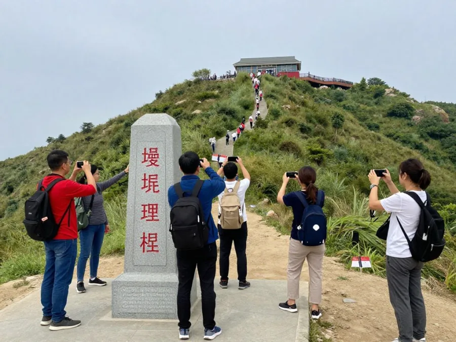
The Himalayas offer border region adventures. Trekking routes cross between Nepal, India, and China. Mountain passes provide spectacular views and cultural experiences.
European border cities celebrate their international character. Basel sits where Switzerland meets France and Germany. The city embraces its tri-national identity.
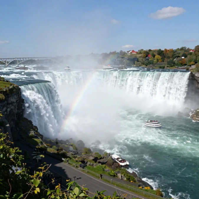
Niagara Falls
Straddling the US-Canada border, these magnificent falls attract millions annually with stunning natural beauty and cross-border viewing opportunities.
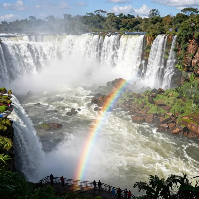
Iguazu Falls
The Argentina-Brazil border features one of the world’s most impressive waterfall systems, offering unique perspectives from both nations.
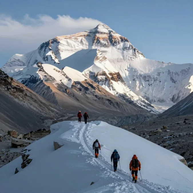
Mount Everest
The Nepal-China border crosses Earth’s highest peak, creating ultimate mountaineering challenges and breathtaking Himalayan vistas.
Border towns often develop unique cultural identities. Mixed languages and traditions characterize these communities. Cross-border influences create distinctive local cultures.
Some borders offer unusual travel experiences. The Four Corners Monument in the United States marks where four states meet. Visitors can stand in four states simultaneously.
Cross-border travel requires proper documentation. Passports and visas enable international movement. Requirements vary depending on bilateral agreements.
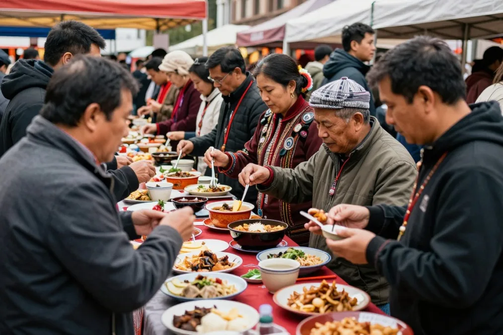
Border markets attract shoppers seeking different products. Price differences create cross-border shopping opportunities. Local economies benefit from international visitor spending.
Transportation infrastructure connects border cities. Bridges, tunnels, and roads facilitate cross-border movement. International airports serve border regions efficiently.
Future Trends in Border Management and Definition
Technology continues transforming border operations worldwide. Biometric systems speed traveler processing at crossings. Artificial intelligence enhances security screening capabilities.
Climate change affects border regions significantly. Rising sea levels may alter coastal boundaries. Glacial melting impacts mountain border definitions.

Environmental cooperation increases along borders. Nations address shared ecological challenges together. Cross-border conservation areas protect ecosystems spanning boundaries.
Digital borders complement physical boundaries. Data flows and cybersecurity create virtual border concerns. Nations develop policies for digital territorial control.
Future Consideration: By 2050, climate change may require renegotiation of river-based borders as water flows shift, and coastal boundaries may need redefinition due to sea level changes.
Trade agreements reduce border friction economically. Regional integration minimizes barriers to commerce. Some areas see borders becoming less restrictive.
Security concerns maintain physical border importance. Nations balance openness with protection needs. Technology enables both security and efficiency.
Population movement patterns continue evolving. Migration pressures affect border policies globally. Humanitarian considerations balance security priorities.
Automated systems may reduce human staffing needs. Remote monitoring replaces constant physical presence in some areas. Cost efficiency drives technological adoption.
International law adapts to changing circumstances. Border dispute resolution mechanisms improve continuously. Peaceful processes address territorial disagreements.
Understanding Global Borders: Key Takeaways
The countries with the longest borders share remarkable geographic characteristics. China and Russia lead with over 22,000 kilometers each. Brazil, India, and Kazakhstan complete the top five.
Border length correlates with continental size and neighbor count. Large nations naturally maintain more extensive boundaries. Geographic position determines neighboring state connections.
Natural features historically defined most borders. Mountains, rivers, and other landmarks created boundaries. Modern technology enables precise demarcation anywhere.
Border management requires significant resources and cooperation. Technology enhances efficiency and security capabilities today. International agreements facilitate cross-border relationships.
These extensive boundaries shape regional politics and economics. Border regions develop unique characteristics and cultures. Understanding border geography provides insight into global relationships.
Future developments will continue transforming border operations. Climate change and technology drive evolution. Nations adapt policies to changing circumstances.
The study of international borders reveals fascinating geographic patterns. From the Andes to the Himalayas, boundaries cross Earth’s most dramatic landscapes. These lines on maps represent complex political, economic, and social realities.
Frequently Asked Questions About Countries with the Longest Borders
Which country has the longest land border in the world?
China has the longest total land border in the world at approximately 22,117 kilometers (13,743 miles). China shares this extensive boundary with fourteen neighboring countries including Russia, Mongolia, India, Myanmar, Kazakhstan, and others across diverse terrain from deserts to mountains.
What is the longest border between two countries?
The longest border between two countries is the Canada-United States boundary, measuring approximately 8,891 kilometers (5,526 miles) including the Alaska section. However, the longest continuous bilateral border is between Kazakhstan and Russia at 7,644 kilometers (4,750 miles).
How many countries does Brazil share borders with?
Brazil shares land borders with ten South American countries: Venezuela, Guyana, Suriname, French Guiana, Colombia, Peru, Bolivia, Paraguay, Argentina, and Uruguay. Only Chile and Ecuador among South American nations do not border Brazil.
Why do Russia and China have such long borders?
Russia and China have extremely long borders due to their massive land area and the number of neighboring countries they border. Russia spans two continents (Europe and Asia) and borders fourteen nations, while China’s vast territory in Asia also connects with fourteen neighbors, creating extensive cumulative boundary lengths.
What determines how borders are measured?
Border measurements are determined by geographic surveys using modern GPS technology and satellite mapping. Measurements follow the actual boundary line including all curves, mountains, and terrain features. Only land borders count toward these totals, not maritime or coastal boundaries.
Do border lengths change over time?
Border lengths can change due to several factors including improved surveying technology providing more accurate measurements, territorial agreements between nations, natural changes like river course shifts, and in rare cases, border disputes being resolved with new demarcations.
Which African country has the longest border?
The Democratic Republic of the Congo has the longest land border in Africa at approximately 10,481 kilometers (6,512 miles). The DRC shares boundaries with nine neighboring countries including Angola, Zambia, Tanzania, Uganda, Rwanda, Burundi, Central African Republic, South Sudan, and the Republic of Congo.
What role do natural features play in defining borders?
Natural features like rivers, mountain ranges, and lakes have historically defined many international borders. Rivers create clear boundaries but may shift over time. Mountains provide natural barriers with borders typically following ridgelines and watersheds. These features made border demarcation easier before modern surveying technology existed.

Priyanka Pandey
Senior Research Editor · Top10Sense
Priyanka specializes in tech, consumer products, and digital trends. She combines hands-on testing, vendor interviews, and database research to create trustworthy “Top 10” rankings. Her work has been referenced by industry blogs and brand report pages.