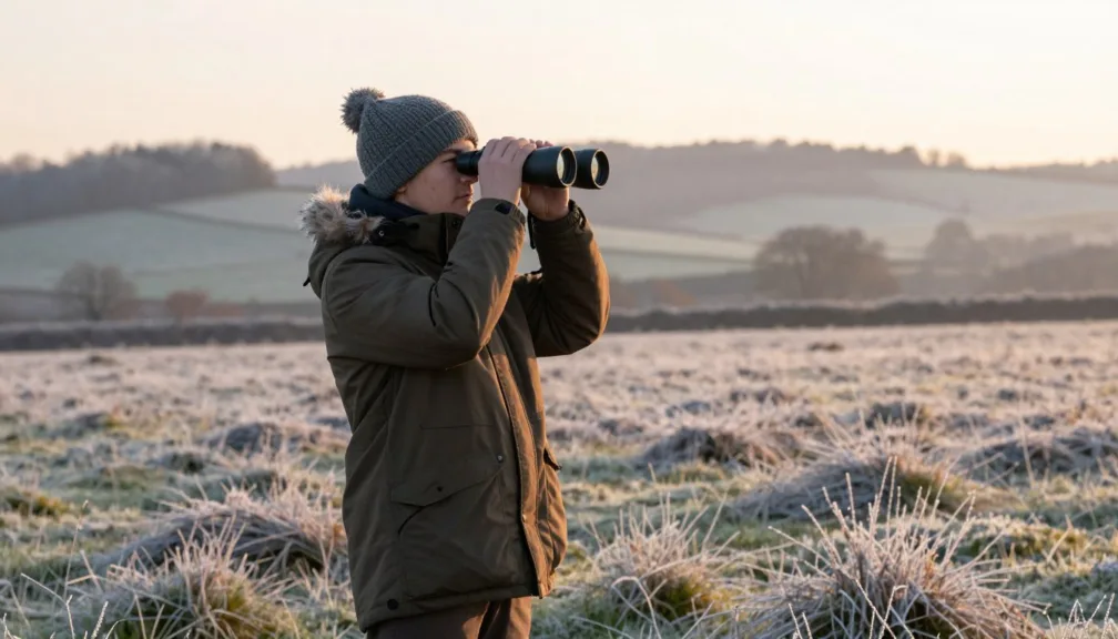
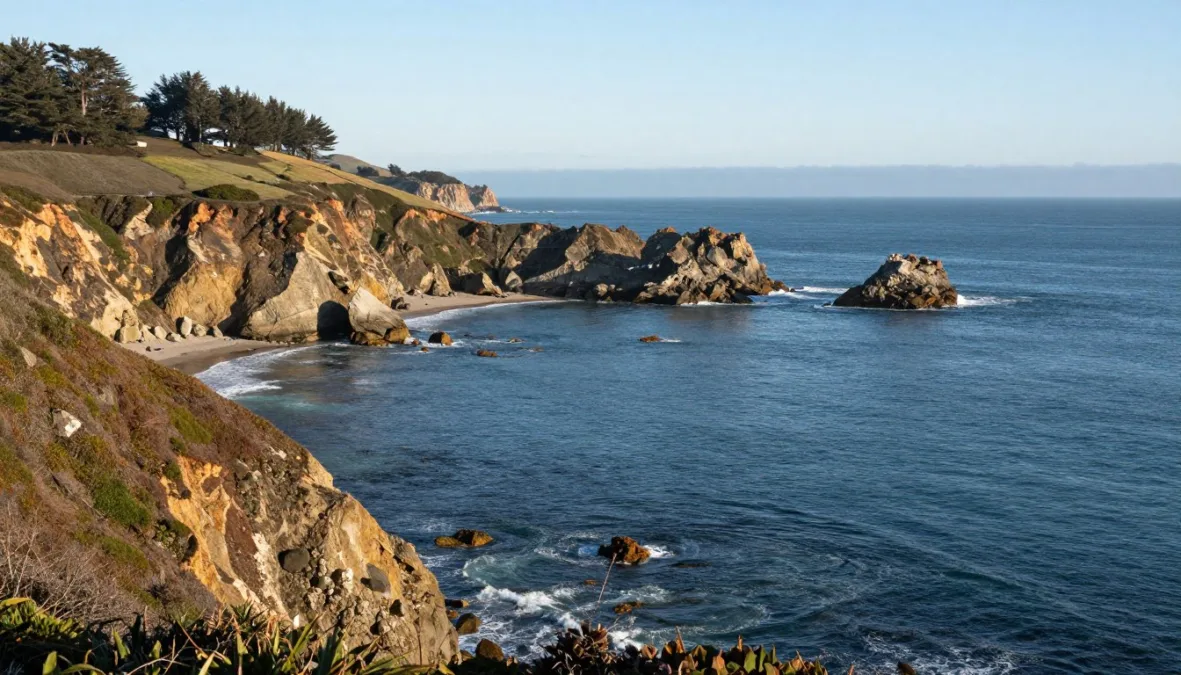
Pacific gray whales begin their southward journey from cold northern feeding waters toward warm calving lagoons in early winter, traveling within reach of shore bluffs. Spotting gray whale watching from shore in California in December 2026 requires choosing elevated coastal points that jut westward into ocean transit corridors. Patient scanning with quality binoculars across open swells provides opportunities to observe telltale water vapor plumes, dark rolling backs, and tail flukes against the horizon.
Early migration timing varies each season based on food abundance, water temperature, and coastal storm systems. Choosing an overlook with high vantage, dependable public parking, and clear trail access helps maximize shore-viewing comfort during variable winter weather.
Understanding the Early Gray Whale Migration Season
December marks the start of the southbound gray whale migration along the California coast. Pregnant females and dominant adults lead the initial wave southward, often swimming steadily without lingering in nearshore bays. Because this period represents the beginning of migratory activity rather than the peak, sightings fluctuate significantly from day to day.
Whale behavior and visibility depend directly on ocean conditions. Strong swells, choppy whitecaps, and winter squalls make distant blows difficult to distinguish from breaking waves, while calm mornings with flat water provide optimal scanning surfaces. Tides also influence how close cetaceans approach submerged reefs and kelp beds, which animals occasionally skirt to maintain efficient travel speeds.
Migration timing changes year to year based on Arctic conditions and ice formation. Visitors should anticipate variable sighting numbers in December, as pods may pass offshore in scattered pulses rather than consistent lines.
Northern California Overlooks: Point Reyes and Bodega Head
Northern California headlands extend deeply into the Pacific, positioning observers closer to the primary offshore migratory path than flat beaches allow. High cliff elevations offer sweeping sightlines across vast stretches of open water where spouts rise against contrasting ocean swells.
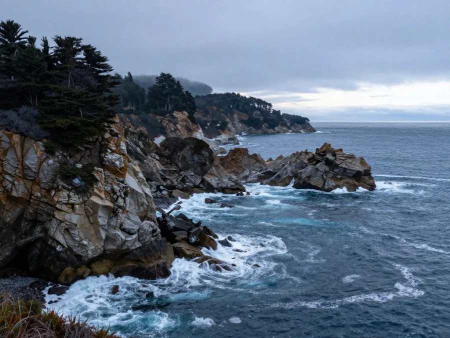
Point Reyes Headlands (Marin County)
Point Reyes National Seashore extends ten miles into the ocean, creating one of the most prominent migration choke points on the Pacific Coast. Visitors access the Point Reyes Headlands via Sir Francis Drake Boulevard, leading to parking areas near the visitor center and lighthouse rock stairs. Morning hours before afternoon onshore winds pick up offer the clearest viewing, though December brings variable sighting counts as initial groups pass by. Sturdy windbreakers, warm layers, and binoculars are mandatory, and visitors must remain behind safety railings to prevent cliffside accidents and avoid disturbing resting harbor seals below.
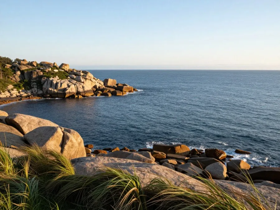
Bodega Head (Sonoma County)
Bodega Head provides accessible clifftop paths within Sonoma Coast State Park, offering high bluffs with clear western exposure. Paved parking lots at the end of Westshore Road connect directly to level dirt trails that accommodate casual walking. Calm winter mornings with low swell provide ideal scanning conditions for early travelers cutting past the rocky headland. Layered fleece, a warm beanie, and optical gear make prolonged viewing comfortable along exposed clifftops. Staying strictly on designated public footpaths preserves sensitive coastal bluff vegetation and protects visitors from crumbly granite margins.
Central Coast Bluffs: Point Lobos, Piedras Blancas, and Montana de Oro
The Central Coast features granite promontories, dense kelp canopies, and expansive marine reserves where whales pass close to shore. Coastal state parks and public preserves maintain well-graded trails designed for safe ocean observation.
- Point Lobos State Natural Reserve (Monterey County): Jutting into deep water south of Carmel, trails like the Cypress Grove and Whalers Cabin paths provide exceptional vantage points over deep ocean trenches. The reserve operates daily with vehicle day-use fees and limited parking capacity, making early arrival advisable. December sightings depend on the speed of front-running groups, which often travel outside the outer kelp line. Observers need windproof jackets, sun protection, and spotting scopes while following strict stay-on-trail regulations to protect fragile cypress groves.
- Piedras Blancas (San Luis Obispo County): Located north of San Simeon, the public boardwalk near the Piedras Blancas Light Station offers sweeping views across open ocean shelves. The boardwalk features free parking, flat wheelchair-accessible platforms, and informative interpretive signs. Midday light reduces ocean glare, making vertical blows easier to detect against distant swells. Visitors should carry binoculars and warm wind-resistant clothing, remaining behind boardwalk barriers to avoid disturbing massive elephant seal colonies resting along the sandy shoreline.
- Montana de Oro State Park (San Luis Obispo County): Hazard Canyon Reef and the Bluff Trail provide elevated platforms perched directly above breaking surf. Free public parking lots along Pecho Valley Road grant straightforward access to wide, packed-dirt trails that follow coastal terraces. Viewing benefits from crisp morning conditions before thermal breezes generate whitecaps. Observers should pack rain shells, sturdy footwear, and optical magnification, always respecting cliff-edge warning signs along naturally eroding sandstone edges.
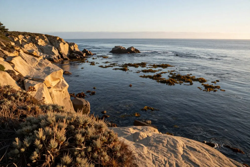
Southern California Coastal Points: Point Vicente, Point Loma, and Dana Point
Southern California features milder shoreline weather, prominent urban-accessible bluffs, and major coastal promontories. Several locations feature dedicated cetacean census programs and preserved public parks overlooking deep nearshore drop-offs.
Point Vicente (Los Angeles County)
Perched high on the Palos Verdes Peninsula, Point Vicente Interpretive Center provides paved terrace paths, free civic parking, and expansive western horizons. The site hosts an annual shore-based whale census, making it an educational hub for shoreline tracking. Crisp winter mornings provide prime glassing conditions before afternoon haze develops. Visitors should bring layered outerwear and tripod-mounted binoculars while staying safely on public lawns and paved walkways.
Dana Point Headlands (Orange County)
The Dana Point Headlands Nature Interpretive Center and surrounding bluff trails sit above Dana Point Harbor, which is designated as a whale heritage site. The conservation area offers free parking lots, scenic boardwalk paths, and viewing platforms elevated above nearshore reefs. December marks early passage along the headland, with calm midday hours offering clear surface observation. Observers need sun protection, polarized lenses, and light layers, respecting boundary fencing to protect native maritime succulents.
Cabrillo National Monument (San Diego County)
Perched at the southern tip of Point Loma in San Diego, Cabrillo National Monument features a dedicated whale overlook and historic lighthouse grounds. Park entry requires an entrance pass, providing paved walkways, accessible viewing stations, and coin-operated telescopes. Low-wind morning hours provide clear sightlines toward the open ocean and harbor mouth. Visitors should bring personal binoculars and windproof jackets while remaining inside developed public areas to preserve sensitive chaparral.
Santa Barbara and Ventura Overlooks: Point Conception and Point Mugu
The transition zone between central and southern California channels migrating marine mammals through open shelf waters. Coastal bluffs along Santa Barbara and Ventura counties offer commanding perspectives across the Santa Barbara Channel.
- Location: Santa Barbara County overlooking the western channel entrance.
- Access: Coastal turnouts along Highway 101 and public access points near Gaviota State Park.
- Conditions: Best on calm dawn hours before fierce crosswinds sweep through the point.
- Sighting Profile: Early migrants navigate open offshore corridors toward the Channel Islands.
Gaviota Coast / Point Conception Vista
- Location: Ventura County rocky bluffs along Pacific Coast Highway.
- Access: Designated roadside parking areas and the Scenic Trail overlook network.
- Conditions: Midday light helps illuminate distant whale blows against darker blue swells.
- Sighting Profile: Pods occasionally round the point outside the heavy coastal breakers.
Point Mugu State Park Bluffs
December whale watching along these southern headlands involves watching for wide-spaced exhalations. Gray whales pass continuously without halting, often traveling several miles offshore to maintain momentum. Observers should bring compact folding chairs, high-magnification binoculars, and layered fleece to combat persistent sea breezes.
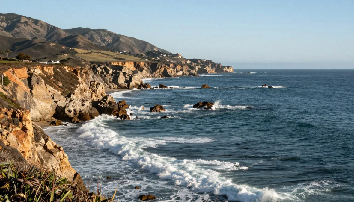
Coastal Viewing Conditions and Field Essentials
Shore-based whale watching requires preparation for chilly marine air, persistent winds, and prolonged visual scanning. Coastal headlands amplify wind chill during December, making high-quality synthetic layers, windproof shells, and thermal hats essential for warmth. Polarized sunglasses cut through harsh surface glare, while quality binoculars with wide fields of view make spotting brief surface breaches manageable.
Weather along the California coast fluctuates rapidly during early winter. Approaching low-pressure systems bring driving rain, elevated swells, and low-hanging fog that completely obscures ocean horizons. Selecting days with light offshore breezes, gentle ocean swells, and minimal cloud cover creates the most comfortable and productive observation sessions.
Shore observers must always remain on marked public trails and behind cliff railings. Clifftop erosion accelerates during winter rains, creating dangerous drop-offs and disturbing sensitive seabird nesting shelves below.
Overview of California Shore-Viewing Overlooks
Evaluating shoreline vantage points helps travelers select convenient destinations tailored to their physical mobility, regional routes, and day-use preferences. The following overview details accessibility, parking features, and viewing characteristics across all ten coastal sites.
| Location | Region | Access Type | Key Viewing Features |
| Point Reyes | North Coast | Paved trail | Sweeping views from high maritime cliffs |
| Bodega Head | North Coast | Level dirt | Free parking and close rocky shoreline scanning |
| Point Lobos | Central Coast | State park fee | Cypress bluffs overlooking deep offshore trenches |
| Piedras Blancas | Central Coast | Boardwalk | Wheelchair-accessible platforms near seal colonies |
| Montana de Oro | Central Coast | Coastal trails | Broad terrace paths above crashing ocean swells |
| Gaviota Vista | Santa Barbara | Highway turnouts | Wide perspectives of western channel approaches |
| Point Mugu | Ventura County | Roadside bluff | Steep rocky headlands jutting into migration lines |
| Point Vicente | Los Angeles | Paved grounds | Civic lawn and active volunteer census post |
| Dana Point | Orange County | Preserve trail | Prominent bluff views over designated heritage waters |
| Point Loma | San Diego | National park | Tiered observation decks with panoramic ocean scope |
Frequently Asked Questions
What time of day is best for spotting gray whales from shore?
Early morning hours generally provide the calmest sea conditions with minimal surface chop. Midday light can also illuminate water plumes when the sun is high and offshore winds remain calm.
What optical equipment is recommended for shore-based whale watching?
Standard marine binoculars with decent magnification and wide objective lenses offer steady scanning from exposed cliffs. A spotting scope on a stable tripod works well on calm days when whales pass farther offshore.
Are gray whale sightings guaranteed during December in California?
Sightings are never certain because early migration timing fluctuates with ocean conditions and weather patterns. Visitors should treat every shoreline sighting as a fortunate wildlife encounter rather than a scheduled event.
How can shoreline visitors practice responsible whale watching?
Observers should stay strictly on marked park trails and paved overlooks to avoid causing clifftop erosion. Keeping noise levels low and never flying unauthorized drones over marine waters protects wildlife from disturbance.
Do visitors need advance permits or reservations for these coastal overlooks?
Most public headlands operate on standard open hours without requiring individual reservations. Certain state reserves and national monuments collect vehicle entry fees at the gate, so checking park operating hours beforehand is advised.
Planning a December 2026 Whale-Watching Trip
Planning a shore-viewing excursion in December 2026 involves pairing elevated coastal promontories with calm ocean forecasts and patient observation habits. Packing warm windproof layers, bringing reliable binoculars, and remaining on designated public trails support both personal safety and coastal habitat preservation. Approaching the headlands with realistic expectations ensures a rewarding day along the scenic California shoreline.

Priyanka Pandey
Senior Research Editor · Top10Sense
Priyanka specializes in tech, consumer products, and digital trends. She combines hands-on testing, vendor interviews, and database research to create trustworthy “Top 10” rankings. Her work has been referenced by industry blogs and brand report pages.